What is recorded here
One hundred and thirty metres of hump-backed rock jut into the sea, pinched at the neck by a twelve-metre cleft that may be a ditch or may be a wound the ocean cut before humans arrived. The interior drops south into loose stones and shadow, invisible from the mainland, as if the headland swallowed itself rather than defended against invasion. Westropp saw only heaps and a slight fence where others saw a fort, and perhaps he was right, for the rock keeps more of the truth than the men who named it.
Situated on a long hump-backed W facing ridge in an area of very mountainous bogland. Deep chasms flank the headland, which is overlooked by higher ground to the E. The headland measures 130m long by 30m wide at its broadest point near the western end. The narrow neck is defended by a very deep and wide fosse, possibly a natural cleft in the rock. It is 12m wide at the top, and several meters deep. Outcropping rock gives the impression of a collapsed stone wall. The interior slopes steeply down to the S, and is strewn with rocks. It is inaccessible and no features are visible from the mainland. Westropp wrote: 'At Glenlara there is a fairly suitable fort-site between two gullies, but the slight ditch, fence and heaps of stones can hardly be early.' (1912, 296). This site may be the one he describes, although if so, there is even less to be seen now than when he visited it. The site is located 101m SW of promontory fort MA001-002001- and 70m NW of promontory fort MA003-005---.
These descriptions are derived from the MA thesis of Markus Casey 1999 The coastal promontory forts of Ireland. A survey of counties Sligo, Mayo, Galway and Clare. Unpublished MA thesis, National University of Ireland, Galway. In this instance the entry has been revised and updated in the light of recent research.
Date of upload: 5 December 2018
The monument record does not grant public access. Check the route and ask the landowner before entering private land.
- What survives
- Recorded monument
Places near here
 Carraig na gColmIslet · 1185 yd
 Oileán DhabhaicIslet · 1.0 mi
 Ceann IorraisHeadland · 1.1 mi
 Promontory fortPromontory fort, coastal · 1.1 mi
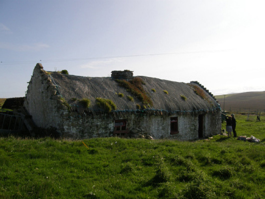 farm housefarm house · 1.6 mi
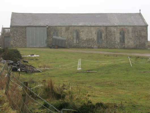 church/chapelchurch/chapel · 3.0 mi
 IndicatedPromontory fort, coastal · 3.2 mi
 Burkes Castle (Site of)Castle, unclassified · 3.4 mi
 Dún na mBó BlowholeHeritage attraction · 3.4 mi
 Cuan an InbhirBay · 3.7 mi
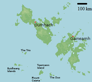 Bawn in Tearmann CaithreachBawn · 3.8 mi
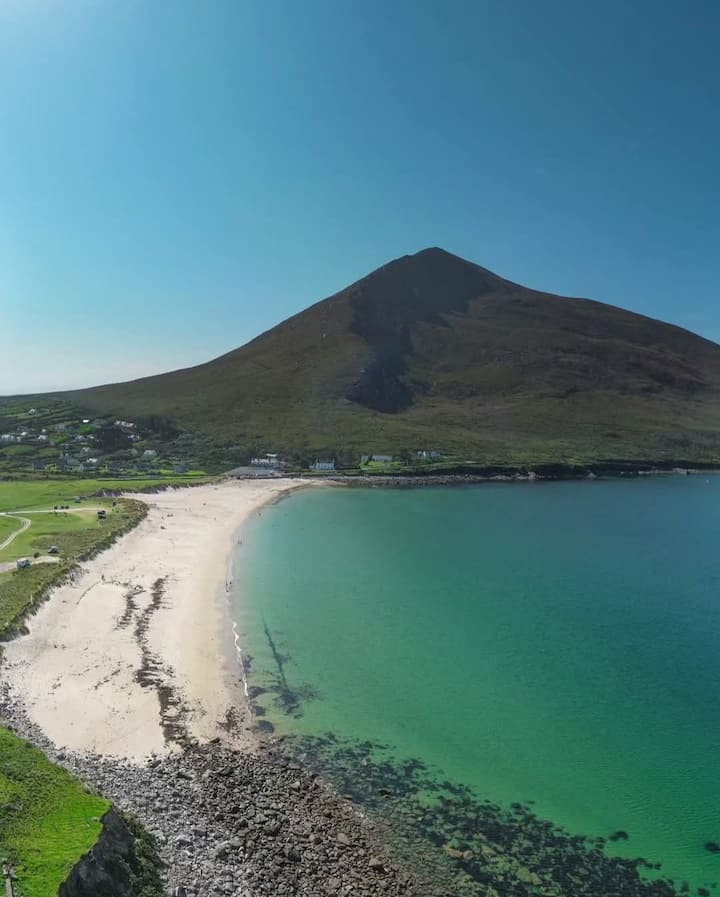 Portnacully BeachBeach / strand · 4.1 mi