What is recorded here
Promontory fort stands on a narrow western headland in County Mayo, where sheer cliffs drop into open sea and wet bog chokes the land behind. Its collapsed drystone wall still marks a rectangular defence around a large cashel and two possible hut mounds, exposing a gap near the southern end where an entrance may have stood. The place keeps the character of a coastal stronghold built to command the horizon, though little remains that can be pointed to without imagination.
Situated overlooking a NW facing peninsula. The promontory fort is situated in an area of wet mountainous bog and is flanked by sheer cliffs. The area is very inaccessible and the view from the site is good. The site consists of a sub-rectangular W-facing headland measuring 100m E-W and 90m N-S. It is defended by a now nearly totally collapsed and grassed over drystone wall. The walls of the defences and the cashel are fairly uniform in dimensions, averaging 4m in width and 0.8m high. At most four courses of the walls remain. The wall across the headland curves gently and a gap near the southern end suggests an original entrance. There is no trace of a ditch outside the wall.
A cashel (MA002-002002-) is situated inside the wall near the northern end of the promontory. The cashel is 23m in internal diameter. Two circular grassed-over mounds (MA002-002003- and MA002-002004-) of stone 4m-5m in diameter may be the remains of huts. One lies at the junction of the cashel and the defensive wall, the other within the western end of the cashel. The interior of the promontory fort is strewn with boulders, although the interior of the cashel is clear.
These descriptions are derived from the MA thesis of Markus Casey 1999 The coastal promontory forts of Ireland. A survey of counties Sligo, Mayo, Galway and Clare. Unpublished MA thesis, National University of Ireland, Galway and three reports that were funded by the Heritage Council (2001, 2002, 2003). In this instance the entry has been revised and updated in the light of recent research.
Date of upload: 5 December 2018
This remains an important historical record, but the official description says the monument is no longer visible or has been destroyed. The monument record does not grant public access. Check the route and ask the landowner before entering private land.
- What survives
- No visible remains or recorded as destroyed
Places near here
 Carraig na gColmIslet · 1030 yd
 Oileán DhabhaicIslet · 1647 yd
 Ceann IorraisHeadland · 1.0 mi
 Promontory fortPromontory fort, coastal · 1.2 mi
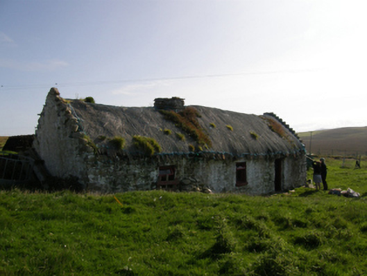 farm housefarm house · 1.7 mi
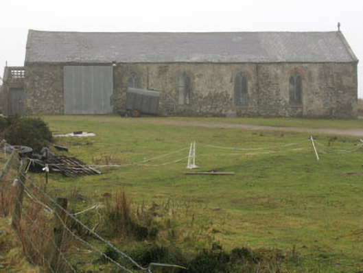 church/chapelchurch/chapel · 3.1 mi
 IndicatedPromontory fort, coastal · 3.2 mi
 Burkes Castle (Site of)Castle, unclassified · 3.4 mi
 Dún na mBó BlowholeHeritage attraction · 3.5 mi
 Cuan an InbhirBay · 3.7 mi
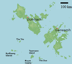 Bawn in Tearmann CaithreachBawn · 3.8 mi
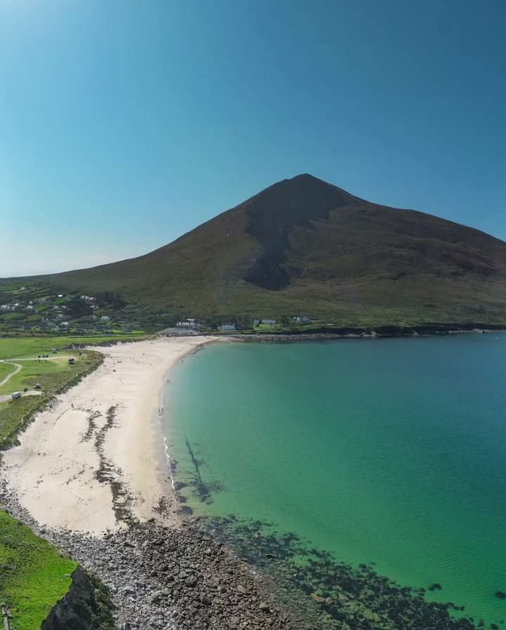 Portnacully BeachBeach / strand · 4.2 mi