What is recorded here
Identified from an aerial survey by Markus Casey, who described this possible monument as a S-facing headland, due S of the watchtower near Ardmore, with two straight lines of dense vegetation running across its neck. The headland is surrounded by 100’ sheer cliffs and a small circular depression is visible close to the southern point. The promontory slopes gently down to the S and is overlooked by higher ground inland. (Casey 2001)
Compiled by: Jean Farrelly
Date of upload: 24 November 2021
The monument record does not grant public access. Check the route and ask the landowner before entering private land.
- What survives
- Recorded monument
Places near here
 watch towerwatch tower · 191 yd
 LOP"" 20watch tower · 192 yd
 St. Declans WellHoly well · 818 yd
 Ardmore Cliff WalkWalking route · 822 yd
 Baile StairiúilVisitor information · 848 yd
 St. Declans StoneRitual site, holy/saint's stone · 1200 yd
 Ardmore Round TowerMedieval round tower · 1353 yd
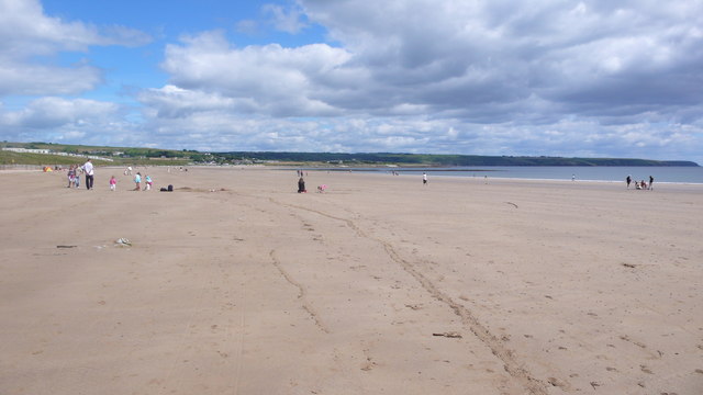 Ardmore BeachBeach / strand · 1.0 mi
 Curragh/Pebble BeachBeach / strand · 1.7 mi
 Cabin PointHeadland · 3.5 mi
 Site of CastleCastle, unclassified · 4.8 mi
 Ferry PointViewpoint · 5.5 mi