What is recorded here
Mnemo records nothing about the fort, only that it exists on a coastal promontory in County Cork. It may have watched ships, sheltered people or marked a border between land and sea. The missing description does not weaken the place; it removes the chance of repeating a story that never belonged to it.
The Archaeological Survey of Ireland (ASI) is in the process of providing information on all monuments on The Historic Environment Viewer (HEV). Currently the information for this record has not been uploaded. To access available information for research purposes please make an appointment in advance with the Archive Unit (open Fridays 10.00 am – 5.00 pm), Department of Housing, Local Government and Heritage, The Custom House, Dublin 1 D01W6XO or email NMarchive@housing.gov.ie.
The monument record does not grant public access. Check the route and ask the landowner before entering private land.
- What survives
- Recorded monument
Places near here
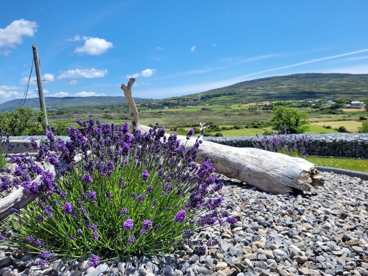 Hut site in Dooneen (carbery W. (w.d.) By.)Hut site · 1 yd
 Dooneen Island LoopWalking route · 311 yd
 Man-made underground passage in Knockroe (carbery West (w.d) By., Kilcrohane, Par.)Man-made underground passage · 995 yd
 Sheep's Head - Caher LoopWalking route · 1.1 mi
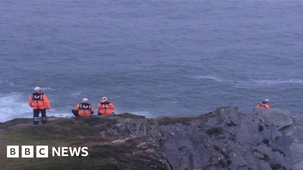 Drowning in Dunmanus BayMemorial · 1.2 mi
 Caher MountainMountain / peak · 1.4 mi
 Kilcrohane Ch(in rns)Church · 1.6 mi
 surgery/clinicsurgery/clinic · 1.6 mi
 Nora DaltonMemorial · 1.6 mi
 Dunmanus BayBay · 2.0 mi
 Stone RowHeritage attraction · 2.2 mi
 Finn McCool's SeatViewpoint · 2.4 mi