What is recorded here
Dunmanus Bay still laps at the triangular rock where a stone-faced bank and deep fosse once guarded the neck. The southern causeway remains the only entrance, forcing whoever entered to walk straight into the open view of the sea. The northern edge has faded to a low ridge while the southern side vanished under growth, but the shape still reads as a place built to be seen and defended.
Triangular area (L 24m; Wth 28m) projecting E into Dunmanus Bay. Neck defended by partially stone-faced earthen bank (H 3.7m) and fosse (D 2.4m). Break in bank (Wth 2.4m) on S side, rough causeway across fosse at this point. Remains of low earthen bank (H 0.4m) along N edge of interior, S side overgrown to cliff edge.
The above description is derived from the published 'Archaeological Inventory of County Cork. Volume 1: West Cork' (Dublin: Stationery Office, 1992). In certain instances the entries have been revised and updated in the light of recent research.
Date of upload/revision: 14 January 2009
The monument record does not grant public access. Check the route and ask the landowner before entering private land.
- What survives
- Recorded monument
Places near here
 Man-made underground passage in Knockroe (carbery West (w.d) By., Kilcrohane, Par.)Man-made underground passage · 344 yd
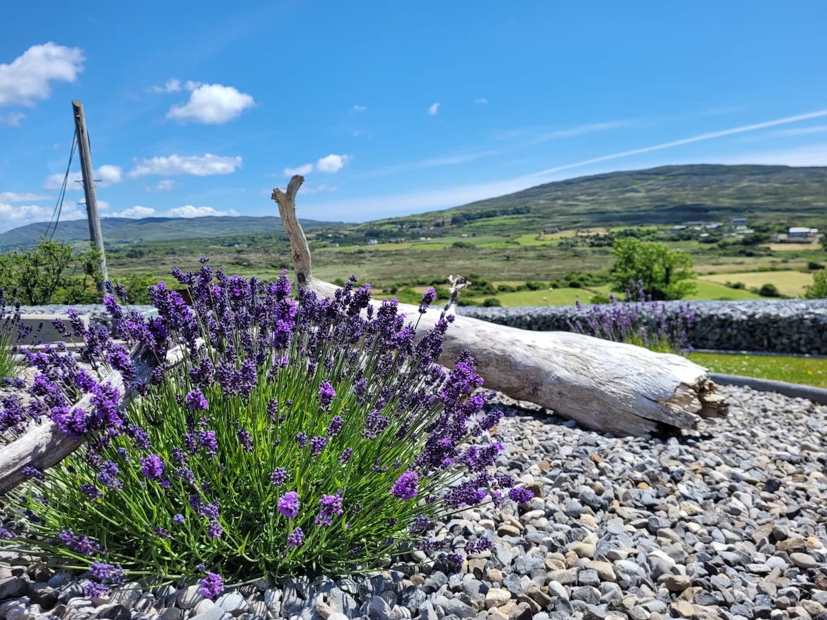 Hut site in Dooneen (carbery W. (w.d.) By.)Hut site · 652 yd
 Dooneen Island LoopWalking route · 905 yd
 Sheep's Head - Peakeen Ridge Linear WalkWalking route · 1644 yd
 Caher MountainMountain / peak · 1.1 mi
 surgery/clinicsurgery/clinic · 1.3 mi
 Kilcrohane Ch(in rns)Church · 1.3 mi
 Nora DaltonMemorial · 1.4 mi
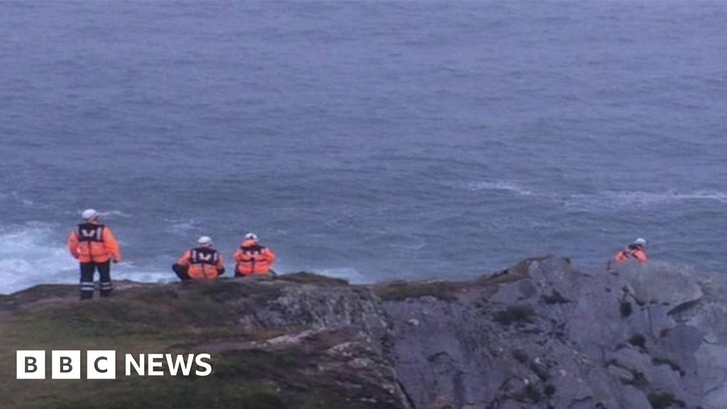 Drowning in Dunmanus BayMemorial · 1.4 mi
 Stone RowHeritage attraction · 1.9 mi
 SeefinViewpoint · 2.0 mi
 Finn McCool's SeatViewpoint · 2.0 mi