What is recorded here
Promontory fort stands at Clonakilty Bay, a triangular patch of land projecting into the water. An earthen bank rises four metres where the patch meets the mainland, blocking the only approach. The sea has worn the interior smooth, but the bank still divides the sky from the water like a wall drawn by a human hand.
Triangular area (L 15m; Wth 11m) projecting SW into Clonakilty Bay. Defended at junction with mainland by earthen bank (H 4.35m) with natural downslope on landward side. Interior heavily weathered and eroded.
The above description is derived from the published 'Archaeological Inventory of County Cork. Volume 1: West Cork' (Dublin: Stationery Office, 1992). In certain instances the entries have been revised and updated in the light of recent research.
Date of upload/revision: 14 January 2009
The monument record does not grant public access. Check the route and ask the landowner before entering private land.
- What survives
- Recorded monument
Places near here
 Castle (in Ruins)Castle, unclassified · 818 yd
 Church in DonaghmoreChurch · 850 yd
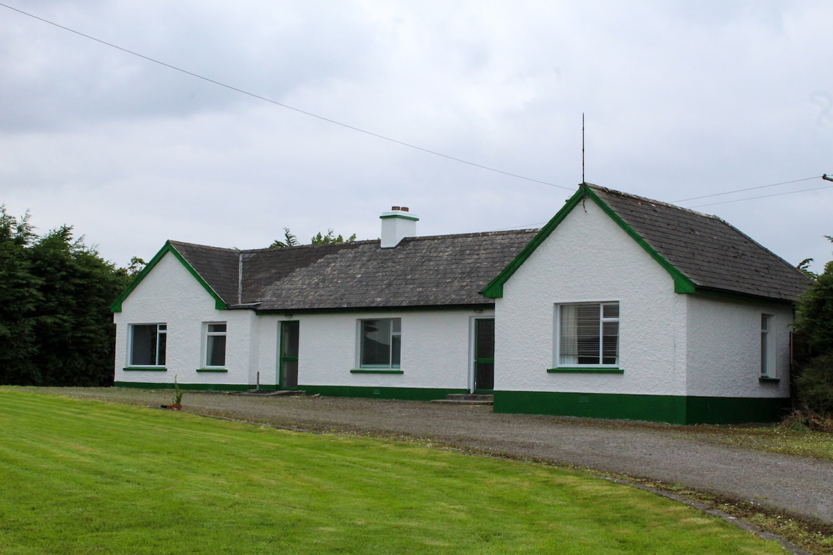 IndicatedQuarry · 1749 yd
 LismahonFairy fort / earthen ringfort · 1.0 mi
 CrossnalinnivBurial ground · 1.0 mi
 Rock Castle (in Ruins)Castle, tower house · 1.3 mi
 Views Simon's CoveViewpoint · 1.4 mi
 Flat Rocks Simon's CoveViewpoint · 1.6 mi
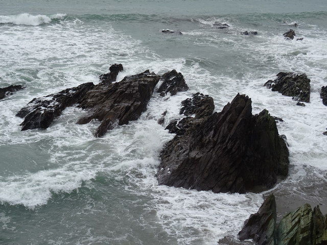 Dunworly BeachBeach / strand · 1.7 mi
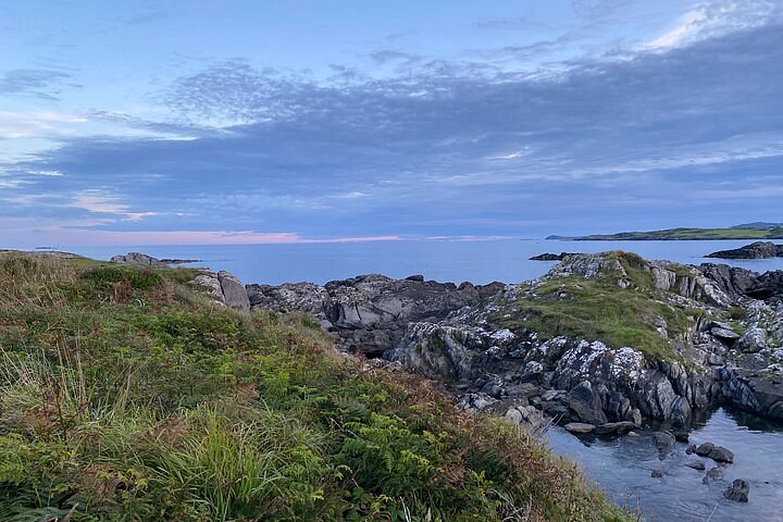 Interesting Cliffs RingCliff · 1.9 mi
 Dunworly PointHeadland · 2.2 mi
 Stoney Beach RingBeach / strand · 2.5 mi