What is recorded here
Promontory fort is a promontory fort (coastal) in Cruabhaile Íochtarach (bar. Na Déise Laistigh Den Drom), County Waterford, Ireland. Markus Casey identified this possible monument in an aerial survey as a broad south-facing headland with signs of two wide collapsed stone walls and an intervening fosse running partly across its neck. A bank runs along the cliff edge of this ridge-backed headland, which holds gorse and outcropping rock above grassy cliffs that slope to the rocky shore.
Identified from an aerial survey by Markus Casey who described this possible monument as a broad S-facing headland which shows signs of two possible wide collapsed stone walls and intervening fosse running partly across its neck. A bank runs along the cliff edge and the headland is ridge-backed with gorse and outcropping rock. The area is one of mixed pasture with unimproved land along the coast. Grassy 50’ high cliffs slope down to the rocky shore. (Casey 2001)
Compiled by: Jean Farrelly
Date of upload: 24 November 2021
The monument record does not grant public access. Check the route and ask the landowner before entering private land.
- What survives
- Recorded monument
Places near here
 Man-made underground passage in Cruabhaile Uachtarach (bar. Na Déise Laistigh Den Drom)Man-made underground passage · 1105 yd
 IndicatedFairy fort / ringfort · 1702 yd
 Old StablesRuins · 1.1 mi
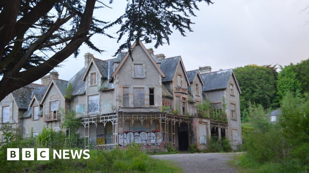 Fuge's/Haunted HouseRuins · 1.1 mi
 Ballyquinn BeachBeach / strand · 1.5 mi
 Curragh/Pebble BeachBeach / strand · 2.0 mi
 Site of CastleCastle, unclassified · 2.7 mi
 Ardmore Cliff WalkWalking route · 2.8 mi
 Baile StairiúilVisitor information · 2.8 mi
 Ardmore Round TowerMedieval round tower · 3.2 mi
 CarronadavdergMountain / peak · 5.4 mi
 Saint Declan's Holy WellSpring · 6.5 mi