What is recorded here
No Irish sea coast is complete without a fort on its edge, and County Cork is no exception. Promontory fort stands where land stops arguing with water, its stones still holding the shape of people who watched ships, storms or invaders arrive. It is not a display or a story told elsewhere; it is a warning written in stone, waiting for eyes sharp enough to read it.
The Archaeological Survey of Ireland (ASI) is in the process of providing information on all monuments on The Historic Environment Viewer (HEV). Currently the information for this record has not been uploaded. To access available information for research purposes please make an appointment in advance with the Archive Unit (open Fridays 10.00 am – 5.00 pm), Department of Housing, Local Government and Heritage, The Custom House, Dublin 1 D01W6XO or email NMarchive@housing.gov.ie.
The monument record does not grant public access. Check the route and ask the landowner before entering private land.
- What survives
- Recorded monument
Places near here
 FoilnalourPromontory fort, coastal · 91 yd
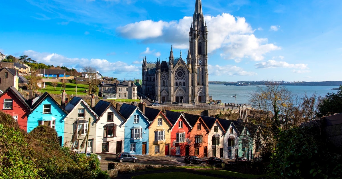 Drowlaun PointHeadland · 253 yd
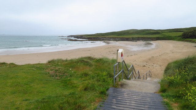 Silver StrandBeach / strand · 568 yd
 Burial ground in Kilmoon (sherkin Island)Burial ground · 742 yd
 Cow StrandBeach / strand · 886 yd
 Chapel in Cloddagh (sherkin Island)Chapel · 1075 yd
 Sherkin IslandIsland · 1257 yd
 White StrandBeach / strand · 1269 yd
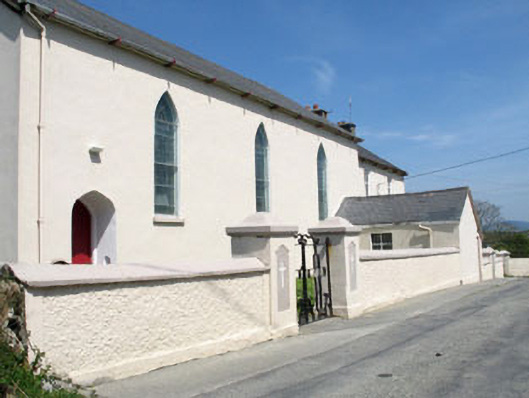 St. Mona's Roman Catholic Churchchurch/chapel · 1424 yd
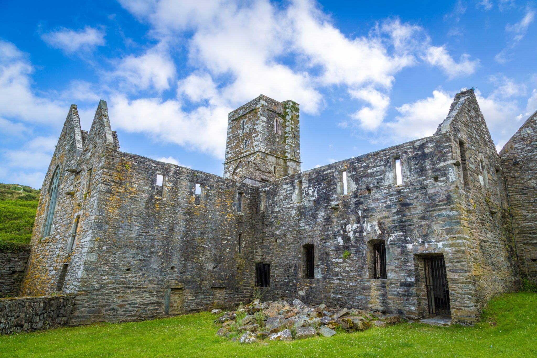 Sherkin PointHeadland · 1740 yd
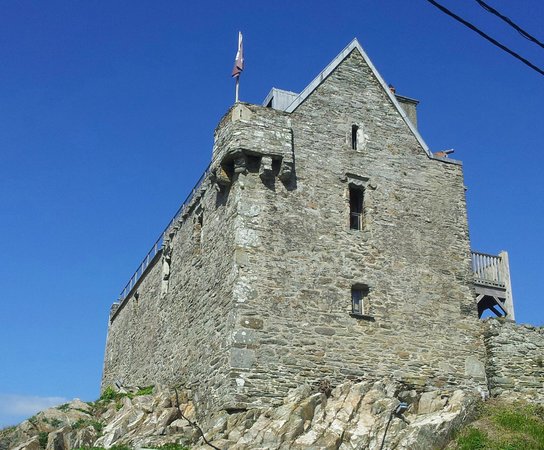 Dún na Long CastleRuins · 1.3 mi
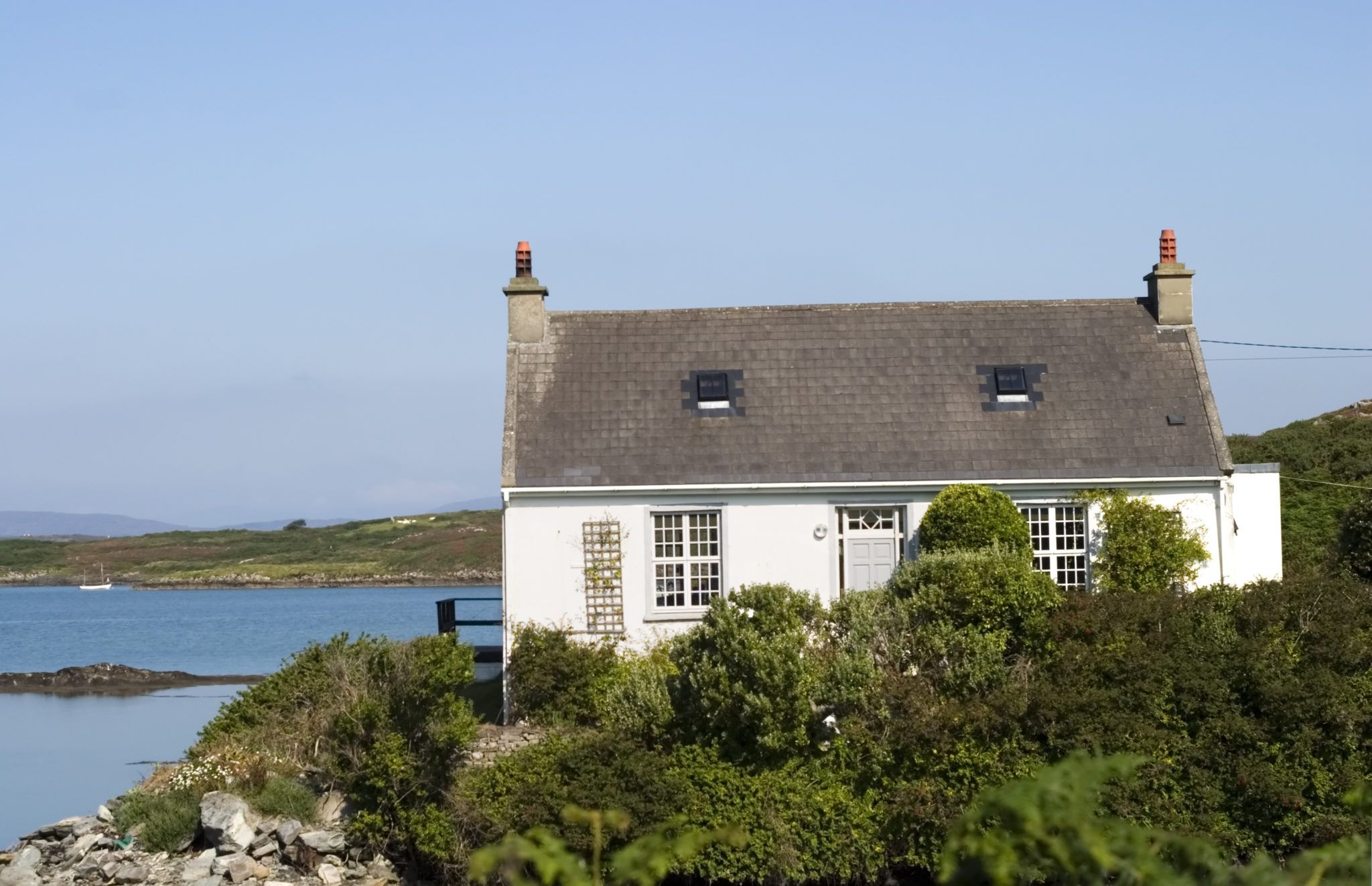 Bawn in Farranacoush (sherkin Island)Bawn · 1.3 mi