What is recorded here
Three earthen banks still guard the narrow neck where Sherkin Island thrusts into the sea, proving that this was no casual pasture but a placed stronghold. The outer and middle banks rise across the approach, broken by ditches wide enough to swallow a charging horse or panic-struck person. The sea now gnaws their ends, taking back what human hands added to the rock.
On a roughly triangular headland (c. 120m E-W) that projects into the sea on the W side of Sherkin Island. The neck (28m N-S) of the headland is defended by three earthen banks. The outer bank (Wth 1.7m; ext. H 0.35m; int. H 0.7m) is separated from the middle bank (Wth 1.6m; ext. H 0.35m; int. H 0.55m) by a fosse (Wth 4m). The remains of a shorter inner bank (L 4m; Wth 1.8m; int. H 0.3m; ext. H 0.5m) at the N end of the neck are separated from the middle bank by another fosse (Wth 1m). The ends of the middle and inner banks are being eroded by the sea. The W half of the interior is rocky and the E half is in rough pasture. Traces of lazy-beds, orientated N-S, are visible on the landward side immediately to the E.
The above description is derived from 'The Archaeological Inventory of County Cork. Volume 5' (Dublin: Stationery Office, 2009).
Date of upload: 22 December 2009
The monument record does not grant public access. Check the route and ask the landowner before entering private land.
- What survives
- Recorded monument
Places near here
 FoilnalourPromontory fort, coastal · 96 yd
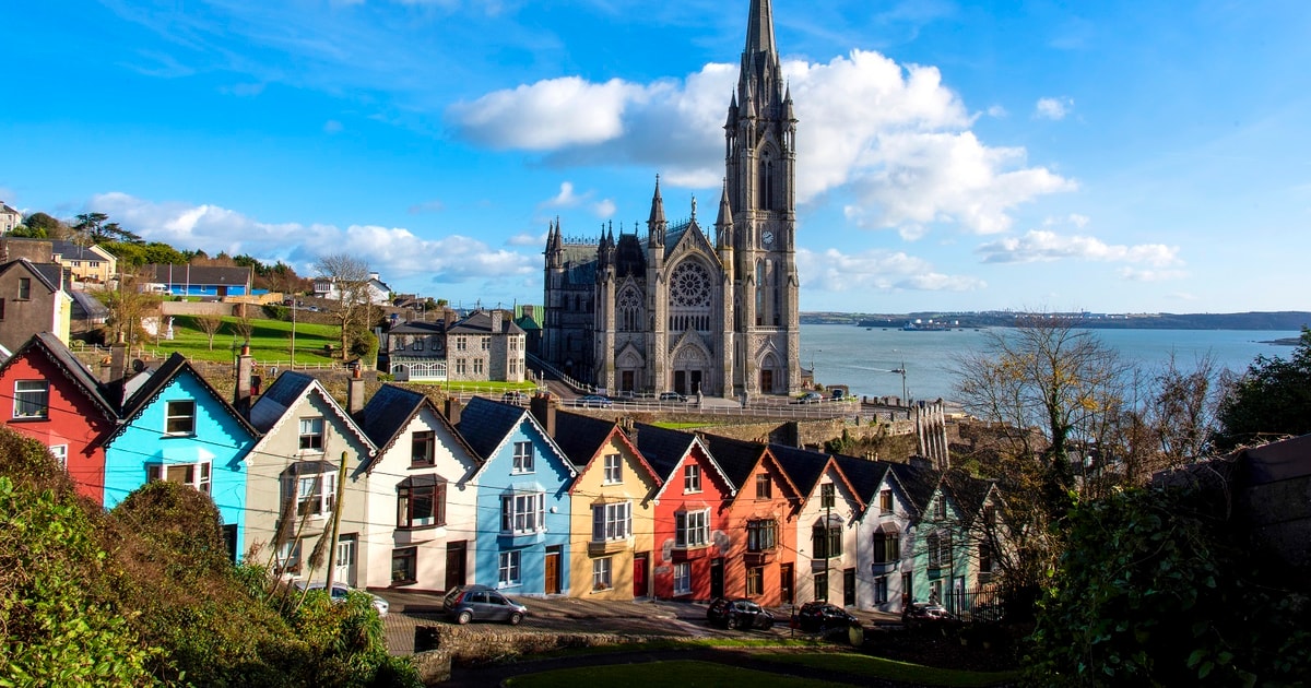 Drowlaun PointHeadland · 330 yd
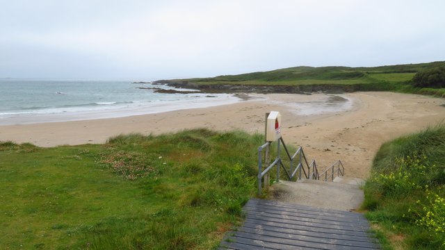 Silver StrandBeach / strand · 561 yd
 Burial ground in Kilmoon (sherkin Island)Burial ground · 783 yd
 Cow StrandBeach / strand · 840 yd
 Chapel in Cloddagh (sherkin Island)Chapel · 997 yd
 White StrandBeach / strand · 1126 yd
 Sherkin IslandIsland · 1230 yd
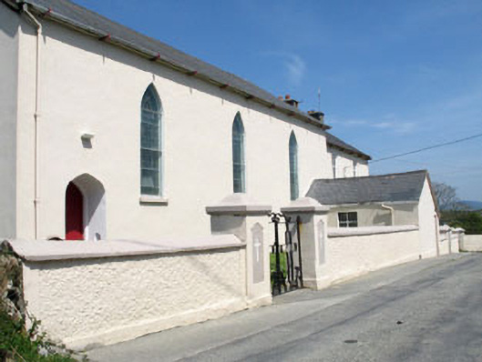 St. Mona's Roman Catholic Churchchurch/chapel · 1367 yd
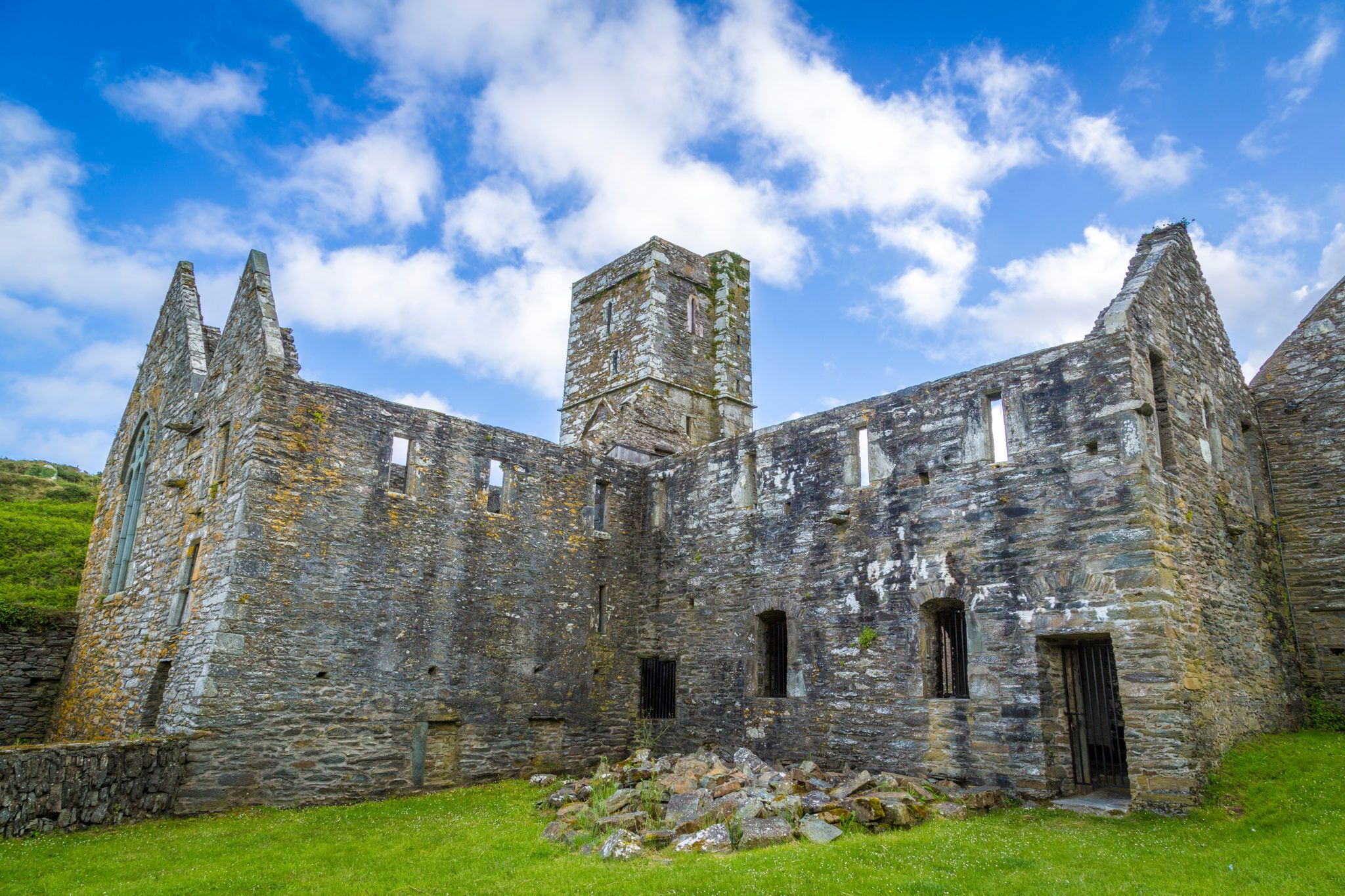 Sherkin PointHeadland · 1578 yd
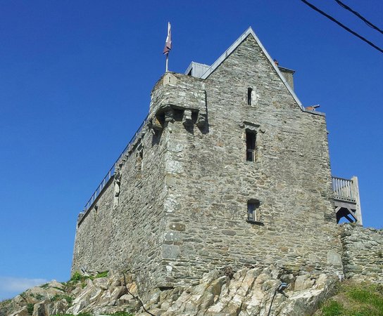 Dún na Long CastleRuins · 1.4 mi
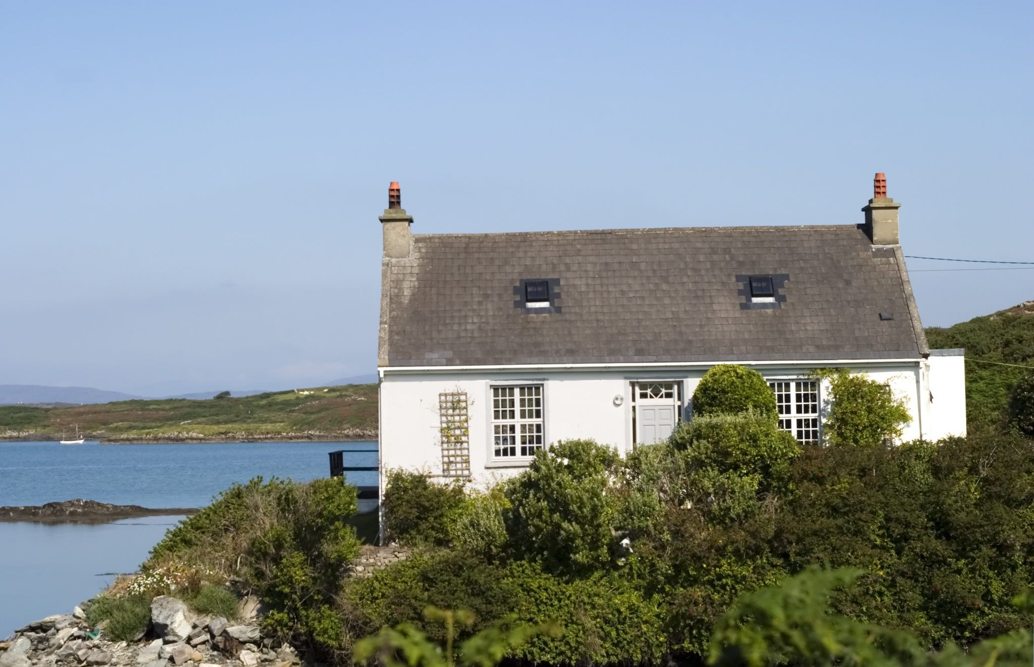 Bawn in Farranacoush (sherkin Island)Bawn · 1.4 mi