What is recorded here
Kerry's brutal Atlantic is erasing Killelan's fort, leaving only a shallow neck ditch and a ruined ring where the sea once raged against a much larger headland. The land still holds shadows of ancient fields, yet the true defense may have vanished beneath the waves, transforming a coastal stronghold into a mysterious maritime ghost.
On the 1841 OS 6-inch map the promontory is defined from the mainland by a broken line. With the location of Castle Shannon (KE008-008----) on the promontory it is most likely that it was defended at some time.
Compiled by: Elizabeth Byrne
Date of upload: 22 August 2013
The monument record does not grant public access. Check the route and ask the landowner before entering private land.
- What survives
- Recorded monument
Places near here
 Castle Shannon (in ruins)Castle, unclassified · 49 yd
 Inshaboy PointHeadland · 879 yd
 LisnagreeArchaeological place · 1488 yd
 Site of Ballingarry CastleCastle, unclassified · 1536 yd
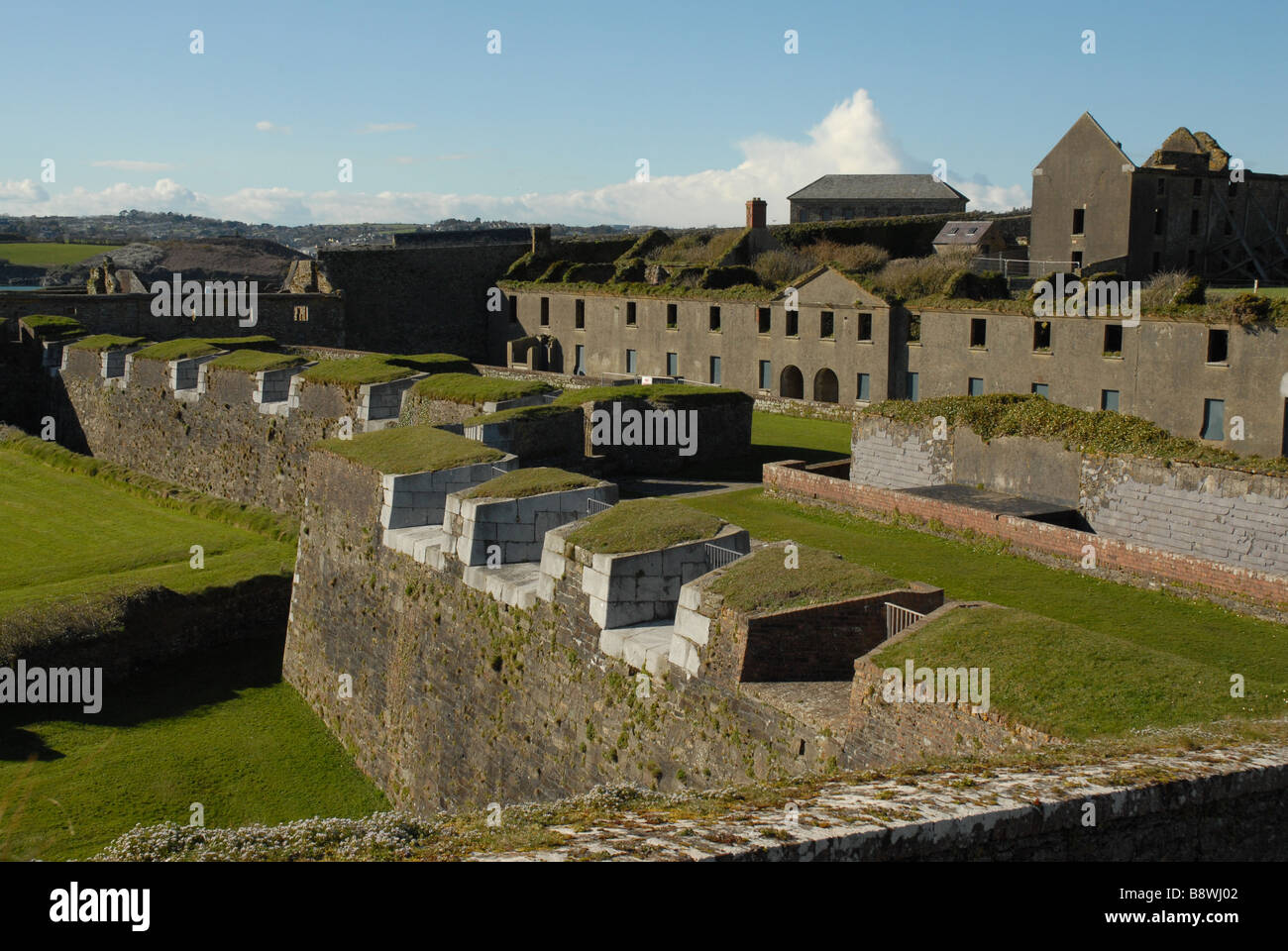 Fortification in CloghaneleeshFortification · 1547 yd
 Bridge in CloghaneleeshBridge · 1566 yd
 Pierce's IslandIslet · 2.3 mi
 MineMine, lead · 2.5 mi
 Our Lady's Holy WellSpring · 3.5 mi
 Maulin MountainMountain / peak · 3.6 mi
 Clashmealcon CavesCave · 4.2 mi
 Triskbeg MountainMountain / peak · 4.4 mi