What is recorded here
Promontory fort is a promontory fort, coastal in Carrowmoran, County Sligo, Ireland. The small trapezoidal landmass juts into the south side of Sligo Bay, bounded by high sea cliffs on three sides and a low earth-and-stone bank on the fourth. A wide, flat-bottomed ditch separates the promontory from the surrounding land, with a causeway crossing the gap at the southeast break in the bank.
Not marked as an antiquity on any edition of the OS 6-inch map. Small, roughly trapezoidal promontory (18m NW-SE; c. 5m NE-SW) jutting into the S side of Sligo Bay. The NW, NE and SE sides are defined by high sea cliffs. The NE end, in particular, is much eroded by wave action. The promontory is cut off on the SW side from the surrounding land by a low bank of earth and stone (Wth 1.2m; int. H 0.5m; ext. H 0.6m). At the outer foot of the bank is a berm (Wth 2m). Beyond this is a wide, flat-bottomed fosse (Wth 11.8m at top, 5.2m at base; D 1.65-2.3m). There is a break in the bank (Wth 3m) at SE, with an accompanying causeway across the fosse.
Compiled by: Patrick F. O'Donovan
Date of upload: 19 January 2011
The monument record does not grant public access. Check the route and ask the landowner before entering private land.
- What survives
- Recorded monument
Places near here
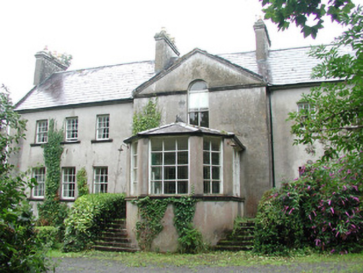 Doonycoycountry house · 925 yd
 Boat HouseRuins · 987 yd
 Man-made underground passage in BallyeeskeenMan-made underground passage · 1340 yd
 Fulacht fia in BallyeeskeenFulacht fia · 1354 yd
 CastleCastle, unclassified · 1422 yd
 DonaghHeadland · 1.1 mi
 Site of Dunneill CastleCastle, unclassified · 1.6 mi
 Aughris HeadHeadland · 2.9 mi
 Aughris BeachBeach / strand · 3.4 mi
 Dunmoran StrandBeach / strand · 4.2 mi
 Jim Smith MemorialMemorial · 5.0 mi
 Knockalongy North-East TopMountain / peak · 5.1 mi