What is recorded here
Identified from an aerial survey by Markus Casey who described this possible monument as a broad subrectangular headland (L 60m; Wth 50m) which shows slight signs of having been cut off from the mainland by a straight shallow fosse (With 5m) running across the neck. The fosse runs parallel to a later earthen boundary. A slight rise in the level of the base of the fosse towards the eastern edge hints at a causewayed entrance. The area is one of fertile pasture with an unimproved strip of land running along the coast. The headland is partly overgrown with furze and remains of a perimeter bank can be seen intermittently. (Casey 2001)
Compiled by: Jean Farrelly
Date of upload: 24 November 2021
The monument record does not grant public access. Check the route and ask the landowner before entering private land.
- What survives
- Recorded monument
Places near here
 Boatstrand BeachBeach / strand · 665 yd
 Benvoy BeachBeach / strand · 740 yd
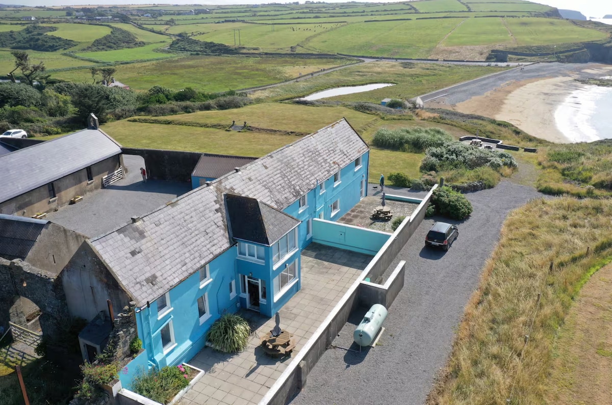 Not inidcatedPromontory fort, coastal · 945 yd
 IndicatedPromontory fort, coastal · 1170 yd
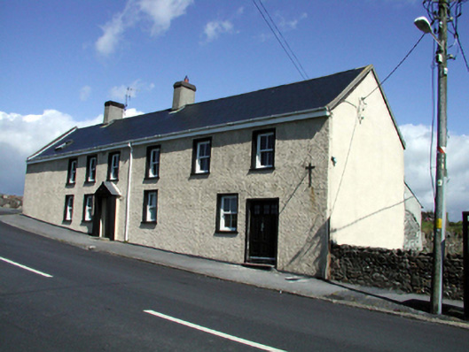 Seaview Househouse · 1285 yd
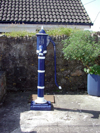 Historic buildingOfficially recorded historic building · 1300 yd
 Lime KilnVisitor information · 1759 yd
 Annestown monumentMemorial · 1.1 mi
 Dunhill CastleCastle · 1.8 mi
 Castle (in ruins)Castle, tower house · 1.8 mi
 St. Martin's WellSpring · 2.0 mi
 Tankardstown 19th Century Copper Mining GeoparkHeritage attraction · 2.1 mi
Other information
Photo: Credit not shown in the picture search · Rights wording not checked; contact us if this picture should be removed