What is recorded here
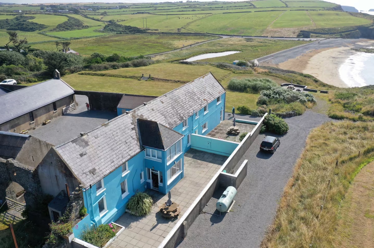
Situated on a coastal promontory. The defences, recorded in 1914, consist of an inner bank (Wth 6.4m; int. H c. 1.4m; ext. H 4-6.4m) and fosse (L c. 10m; Wth 6.4m; D 2.5m) with a causeway (Westropp 1914-16, 205). It is now inaccessible due to erosion but remnants of both the fosse and bank survive.
The above description is derived from the published 'Archaeological Inventory of County Waterford' (Dublin: Stationery Office, 1999). In certain instances the entries have been revised and updated in the light of recent research.
Compiled by: Michael Moore.
Date of upload: 19th May, 2011.
A local fairy fort (ringfort/rath); wider significance not recorded.
The monument record does not grant public access. Check the route and ask the landowner before entering private land.
- What survives
- Recorded monument
Places near here
 Benvoy BeachBeach / strand · 213 yd
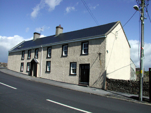 Seaview Househouse · 430 yd
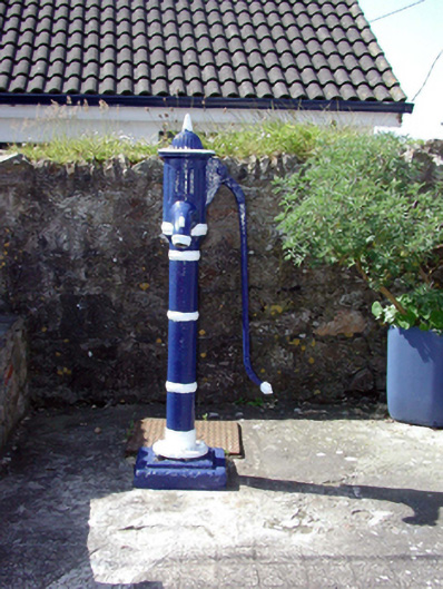 Historic buildingOfficially recorded historic building · 432 yd
 Annestown BeachBeach / strand · 699 yd
 Lime KilnVisitor information · 820 yd
 Double bankPromontory fort, coastal · 901 yd
 Annestown monumentMemorial · 1242 yd
 Dunhill CastleCastle · 1.5 mi
 Castle (in ruins)Castle, tower house · 1.5 mi
 St. Martin's WellSpring · 2.3 mi
 St. Bernard's WellSpring · 2.5 mi
Other information
Photo: Credit not shown in the picture search · Rights wording not checked; contact us if this picture should be removed