What is recorded here
Promontory fort is a promontory fort (coastal) in Ardoginna, County Waterford, Ireland. Markus Casey identified this possible monument in an aerial survey as a rectangular south-facing headland with a slight depression across the neck, traces of a curving earthen bank or grassed-over stone wall enclosing the promontory, a large C-shaped area to the north and two parallel banks across the southerly point. The surrounding landscape contains mixed-quality pasture, scrub, a strip of unimproved coastal land and seventy-five-foot cliffs.
Identified from an aerial survey by Markus Casey, who described this possible monument as consisting of a rectangular S-facing headland, with a slight depression running across the neck and traces of a curving earthen bank or grassed-over stone wall enclosing the promontory and a large C-shaped area to the N. Two parallel banks run across the southerly point of the headland. The area is one of mixed quality pasture and scrub, with a strip of unimproved land along the coast. 75’ high cliffs surround this and nearby headlands. (Casey 2001)
Compiled by: Jean Farrelly
Date of upload: 24 November 2021
The monument record does not grant public access. Check the route and ask the landowner before entering private land.
- What survives
- Recorded monument
Places near here
 Man-made underground passage in ArdoginnaMan-made underground passage · 356 yd
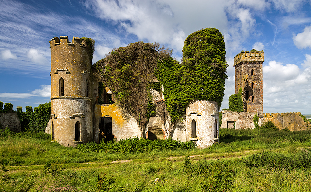 Ardoginna Ho.House, 18th/19th century · 385 yd
 Ardoginna Housecountry house · 386 yd
 Goat Island beachBeach / strand · 1008 yd
 Enclosure in Ballynamona (decies Within Drum By.)Enclosure · 1557 yd
 Ardmore Round TowerMedieval round tower · 1.1 mi
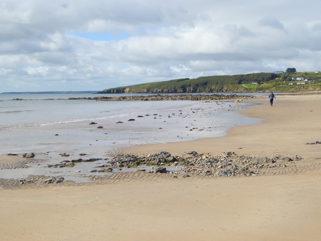 Whiting BayBeach / strand · 1.5 mi
 Baile StairiúilVisitor information · 1.6 mi
 Ardmore Cliff WalkWalking route · 1.6 mi
 Cabin PointHeadland · 2.0 mi
 Matty CoakleyMemorial · 4.0 mi
 Ferry PointViewpoint · 4.0 mi