
What is recorded here
Dooneen Pier still holds a triangular headland where a shallow ditch cuts the isthmus, while sheer cliffs deny the sea below. The flat interior offers no monument, no chamber, no visible wound, only pasture rolling toward the coast. Whatever stood there has returned to soil, leaving behind a shape sharp enough to be seen and empty enough to forget.
Promontory fort described in 2002 as follows; ‘A small triangular southwest-facing headland is cut off from the mainland at the narrowest point of the isthmus by a 4m wide shallow fosse. Slight rises in the field level on either side of the ditch hints at the previous existence of earthen banks or walls. The interior is flat, level and featureless and the cliff edges are sheer, making the sea below inaccessible from the headland. An earthen bank runs along the adjacent coastline and the area is one of rolling fertile pasture, and this may be the site referred to in the name ‘Dooneen Pier’, some distance to the north’ (Casey 2002, 50, no. Q).
The monument record does not grant public access. Check the route and ask the landowner before entering private land.
- What survives
- Recorded monument
Places near here
 Séipéal Bhréanainn [Saint Brendan's Catholic Church]church/chapel · 1170 yd
 ToberkieranHoly well · 1261 yd
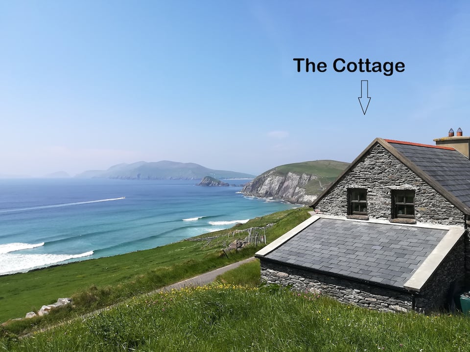 Hut site in Cill ChúileHut site · 1613 yd
 Church in Cill ChúileChurch · 1.1 mi
 Moorestown CastleCastle · 1.2 mi
 Cuan Ard na CaithneBay · 1.3 mi
 Ceann Bhaile DháithMountain / peak · 1.5 mi
 Faill na MúCliff · 1.9 mi
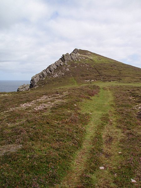 Binn DiarmadaMountain / peak · 2.0 mi
 Gallarus Castle (in ruins)Castle, tower house · 2.3 mi
 Trá an FhíonaBeach / strand · 2.3 mi
 Gallarus OratoryHeritage attraction · 2.5 mi
Other information
Photo: Credit not shown in the picture search · Rights wording not checked; contact us if this picture should be removed