
What is recorded here
Promontory fort is a coastal defensive site in County Mayo, Ireland, built on a two hundred metre north-facing headland. A single earth bank and deep ditch cut the land halfway along, creating a sheltered interior where only the northeast corner offered suitable living space. Sheer cliffs blocked sea access while a freshwater stream ran through the nearby bog, suggesting residents controlled land rather than harbour traffic. The preserved bank, causeway and stone-lined ditch still mark the boundary between the inhabited corner and the exposed cliff edge.
Situated in an area of mountainous bogland. The promontory fort is overlooked by higher ground inland and the view from the site is excellent. The sea is inaccessible as the site is flanked by sheer cliffs and a freshwater stream runs through the bog near the site. This well preserved promontory fort was built on a 200m long N-facing headland, cut off by a single bank and ditch about halfway along the headland at its narrowest point. This left an interior measuring 100m by 66m. The defences consist of an ill defined bank of earth 3m wide curving in towards the mainland. Outside this is an 8m wide round bottomed fosse 2.9m deep with a well defined entrance causeway crossing it 7m from the eastern cliff edge. The fosse lies 1.4m below the faint counterscarp bank and it is 1.5m wide across its base. A line of stones along the inner edge of the fosse suggests that this side at least was faced. The causeway measures 4.1m in width and was defined along its eastern edge by a low wall. A featureless interior slopes steeply to the E and only the level and sheltered northeastern corner would have been suitable for habitation.
These descriptions are derived from the MA thesis of Markus Casey 1999 The coastal promontory forts of Ireland. A survey of counties Sligo, Mayo, Galway and Clare. Unpublished MA thesis, National University of Ireland, Galway. In this instance the entry has been revised and updated in the light of recent research.
Date of upload: 5 December 2018
The monument record does not grant public access. Check the route and ask the landowner before entering private land.
- What survives
- Recorded monument
Places near here
 IndicatedPromontory fort, coastal · 1.2 mi
 Aghaglasheen Signal TowerRuins · 1.5 mi
 Cuan an InbhirBay · 2.0 mi
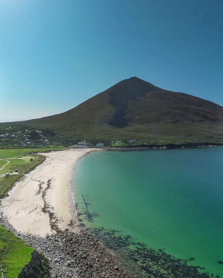 Portnacully BeachBeach / strand · 2.1 mi
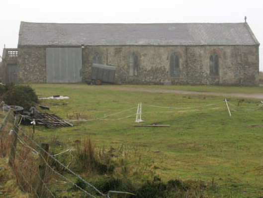 church/chapelchurch/chapel · 2.3 mi
 Oileán DhabhaicIslet · 2.4 mi
 Carraig na gColmIslet · 2.4 mi
 Ceann IorraisHeadland · 2.4 mi
 Site of Myles Barretts CastleCastle, unclassified · 3.2 mi
 CregaunEnclosure · 3.3 mi
 Burkes Castle (Site of)Castle, unclassified · 4.0 mi
 Dún na mBó BlowholeHeritage attraction · 4.7 mi
Other information
Photo: Credit not shown in the picture search · Rights wording not checked; contact us if this picture should be removed