What is recorded here
Scotland's National Record of the Historic Environment records Princess Victoria (possibly) as Obstruction (period Unassigned)(possible). The official map says its point is accurate as follows: NGR given to the nearest 1m. The record does not by itself mean that the public may enter the place.
A local shipwreck; wider significance not recorded.
The historic-place record does not grant public access. Check current conditions and ownership before entering land or a building.
Places near here
 Mew Island LightLighthouse · 7.4 mi
 Mew IslandIsland · 7.6 mi
 Lighthouse IslandIsland · 7.9 mi
 Groomsport Parish ChurchChurch · 11 mi
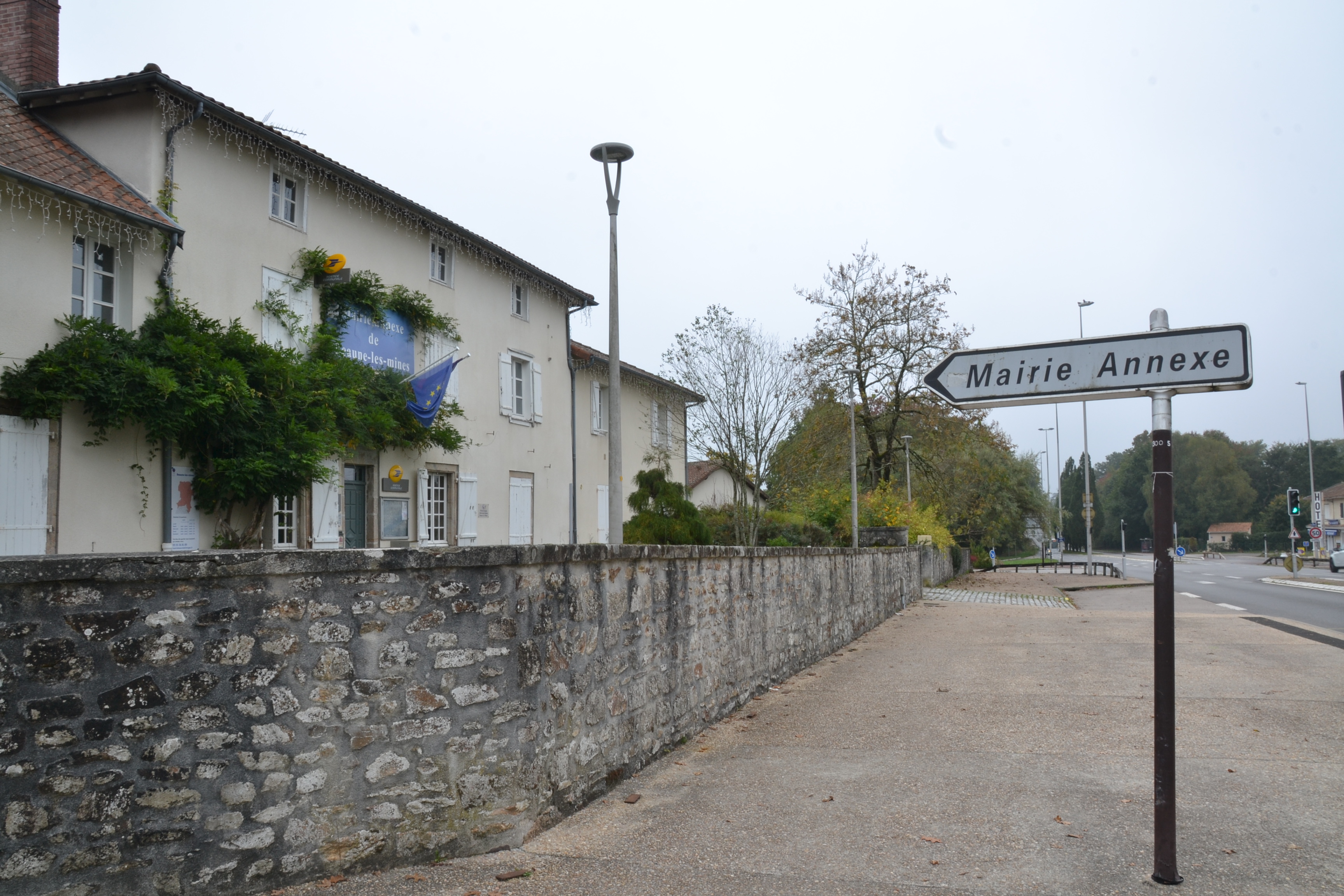 RATH & ENCLOSURE (annexe?) in BallyminetraghRATH & ENCLOSURE (annexe?) · 11 mi
 ENCLOSURE in BallymacormickENCLOSURE · 12 mi
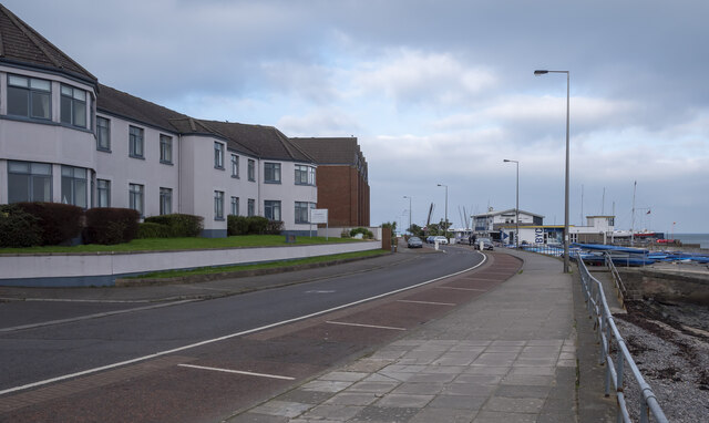 North Down Coastal PathVisitor information · 13 mi
 Bangor CastleCastle · 14 mi
 North Down MuseumMuseum · 14 mi
 Carrowdore CastleCastle · 15 mi
 Somme Heritage CentreMuseum · 16 mi
 Doon HillMountain / peak · 17 mi