What is recorded here
The following description is derived from both the published 'Archaeological Inventory of County Louth' (Dublin: Stationery Office, 1986) and the 'Archaeological Survey of County Louth' (Dublin: Stationery Office, 1991). In certain instances the entries have been revised and updated in the light of recent research.
Date of upload/revision: 17 July 2007
Mixture of flints, including 61 primary and dressing flakes, 6 cores and 10 flake implements, collected during fieldwalking by D. Hodgers in Whitestown townland and Templetown townland (see also LH009-013----). (CLAJ 1979, 227-38)
The monument record does not grant public access. Check the route and ask the landowner before entering private land.
- What survives
- Recorded monument
Places near here
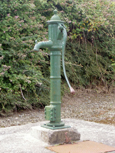 water pumpwater pump · 16 yd
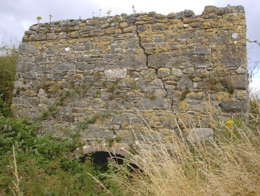 kilnkiln · 490 yd
 Croak BerthanMound · 1561 yd
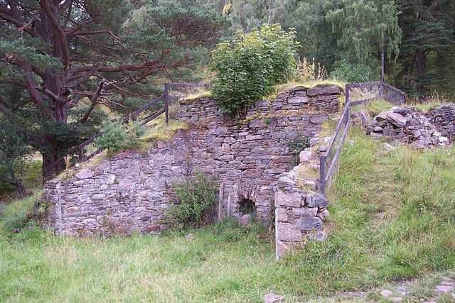 Old lime kilnArchaeological place · 1.1 mi
 Cooley PointHeadland · 1.2 mi
 St James WellSpring · 1.8 mi
 Ballug CastleCastle · 1.8 mi
 Castle in RuinsCastle, unclassified · 2.1 mi
 GreenoreVisitor information · 2.4 mi
 Greenore PointHeadland · 2.7 mi
 The BushPicnic place · 2.8 mi
 Grange UpperMountain / peak · 3.4 mi