What is recorded here
An excavation here produced evidence for a Late Mesolithic flint-working site. It was situated on a raised shingle beach created during the maximum marine transgression at Dunaff Bay. A date of c. 3,500 to 3,000 B.C. would seem appropriate. A section through the beach is still visible.
(Addyman and Vernon 1966, Woodman 1978)
The above description was derived from the 'Archaeological Survey of County Donegal. A description of the field antiquities of the County from the Mesolithic Period to the 17th century.' Compiled by: Brian Lacey with Eamon Cody, Claire Cotter, Judy Cuppage, Noel Dunne, Vincent Hurley, Celie O'Rahilly, Paul Walsh and Seán Ó Nualláin (Lifford: Donegal County Council, 1983). In certain instances the entries have been revised and updated. In certain instances the entries have been revised and updated.
Date of upload: 22 September 2008
The monument record does not grant public access. Check the route and ask the landowner before entering private land.
- What survives
- Recorded monument
Places near here
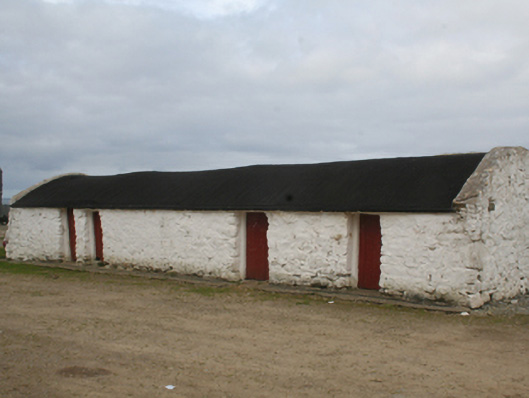 outbuildingoutbuilding · 890 yd
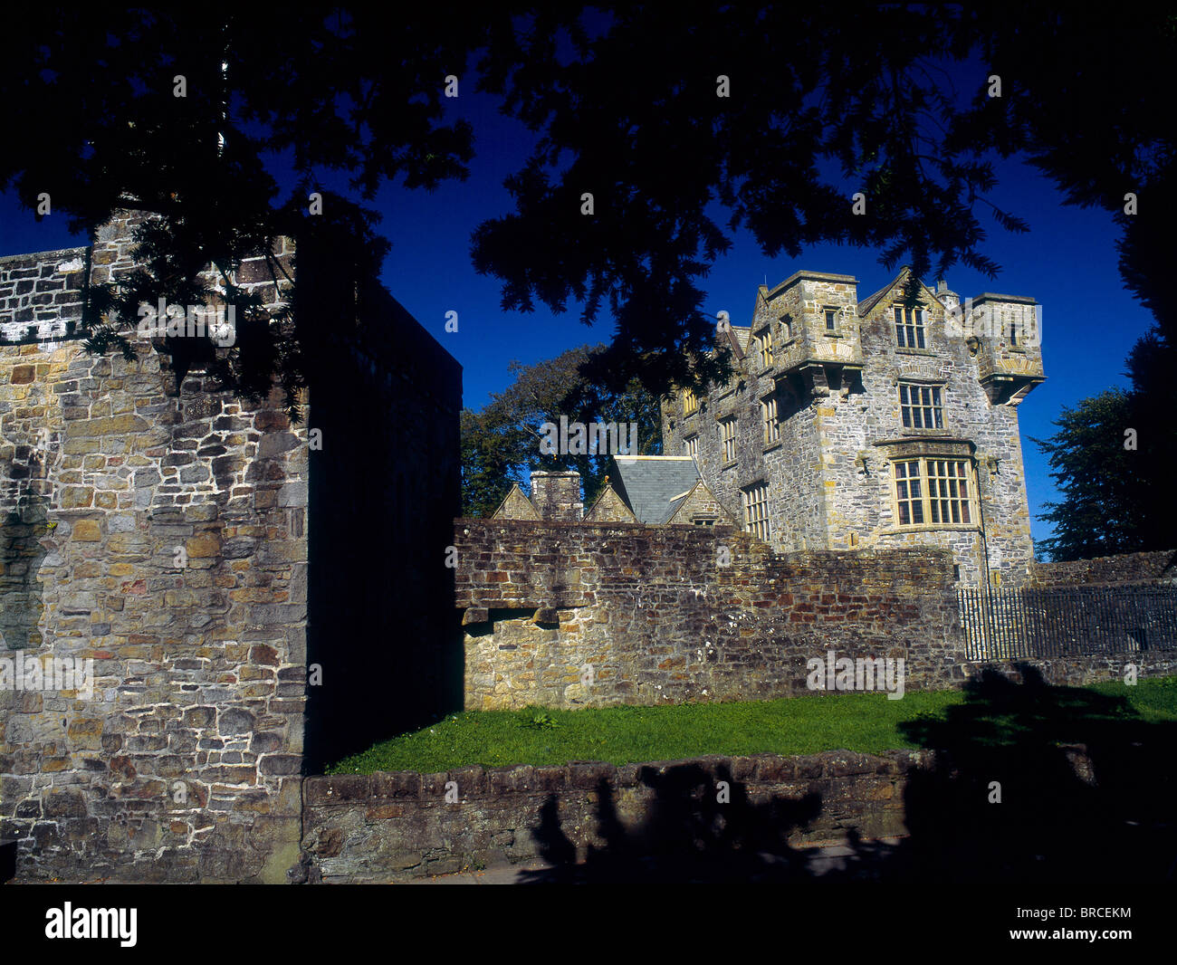 Dunaff Banked Fairy FortFairy fort / earthen ringfort · 1.0 mi
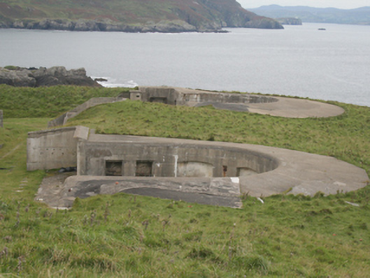 Lenan FortCoastal defence battery · 1.3 mi
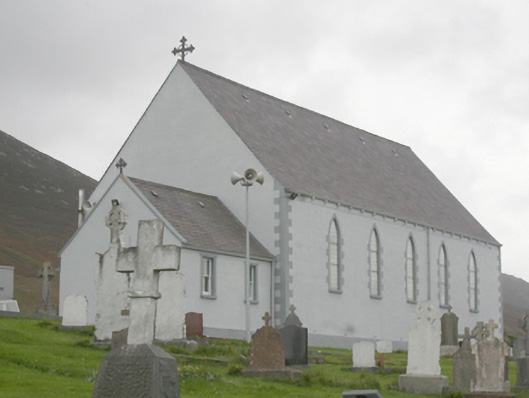 St. Michael’s Catholic Churchchurch/chapel · 1.3 mi
 Gap of Mamore ViewpointViewpoint · 1.3 mi
 Dunaff HillMountain / peak · 1.6 mi
 Raghtin MoreMountain / peak · 1.8 mi
 Mamore GapViewpoint · 2.0 mi
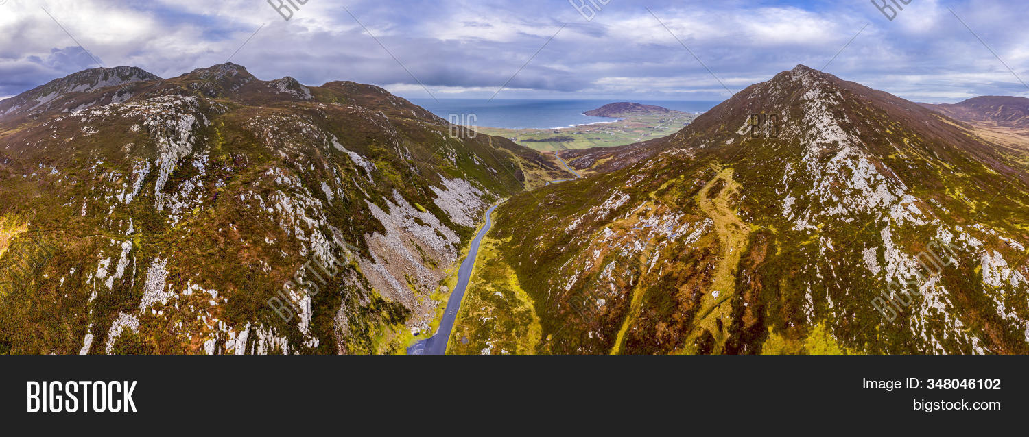 Gap of MarmoreHeritage attraction · 2.1 mi
 Glenevin WaterfallWaterfall · 2.7 mi
 Glenevin Waterfall, Clonmanywaterfall · 2.7 mi
 Glenevin Waterfall WalkOfficial walking route · 3.0 mi