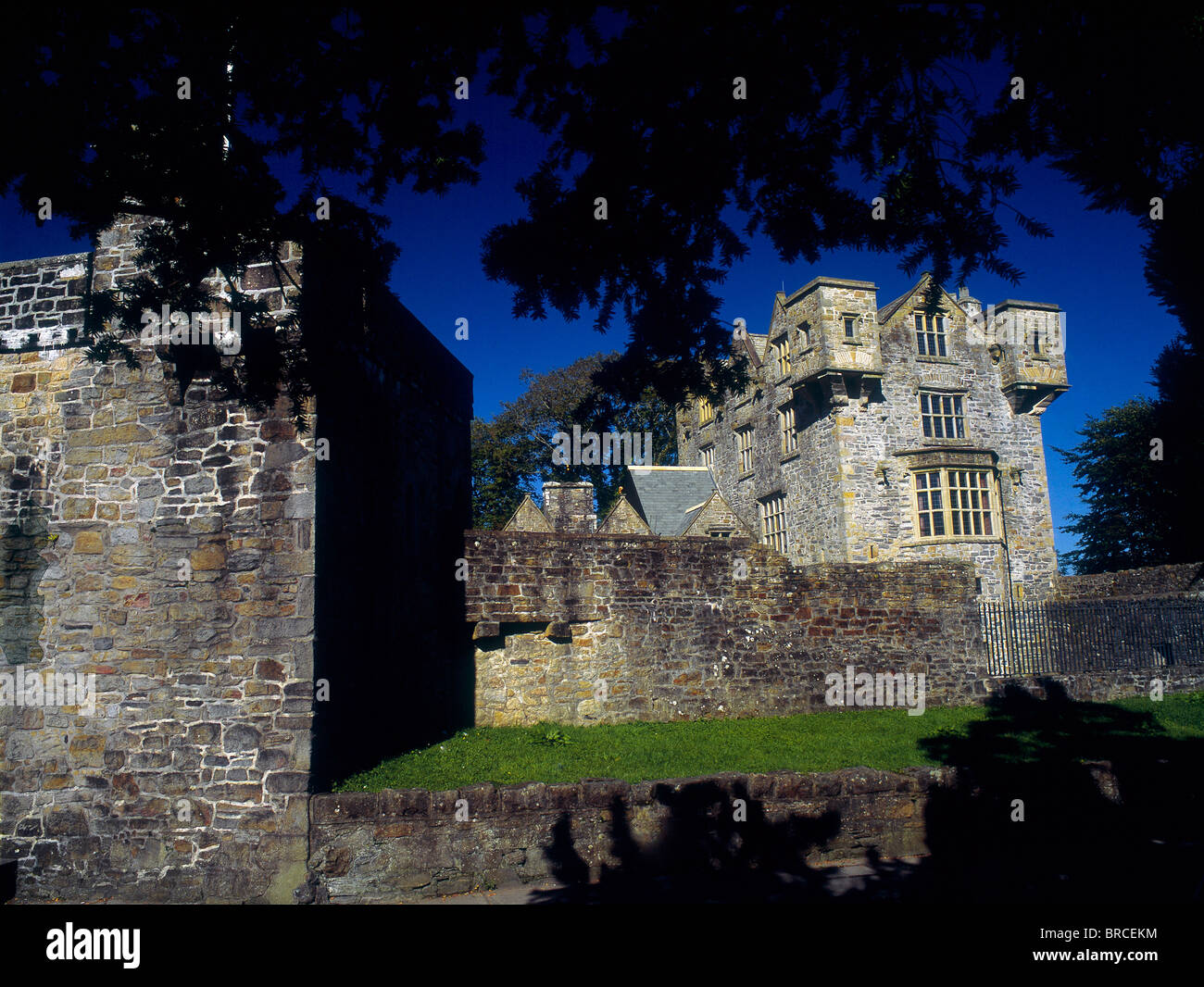
What is recorded here
Internal diam. c. 25m-30m. A subcircular space enclosed by an earthen bank (incorporating some rock outcrop), a fosse and possibly an external bank. There is a probable entrance on the E side and irregular rises internally might indicate structures. The site has been interfered with by field walls and a trackway.
The above description was derived from the 'Archaeological Survey of County Donegal. A description of the field antiquities of the County from the Mesolithic Period to the 17th century.' Compiled by: Brian Lacey with Eamon Cody, Claire Cotter, Judy Cuppage, Noel Dunne, Vincent Hurley, Celie O'Rahilly, Paul Walsh and Seán Ó Nualláin (Lifford: Donegal County Council, 1983). In certain instances the entries have been revised and updated. In certain instances the entries have been revised and updated.
Date of upload: 22 September 2008
Dunaff Banked Fairy Fort is a subcircular early-medieval ringfort, likely dating to between the 5th and 10th centuries AD, characterized by an earthen bank, fosse, and possible external bank. Local tradition associates such sites with fairy dwellings, and they were often avoided due to beliefs in supernatural inhabitants.
The monument record does not grant public access. Check the route and ask the landowner before entering private land.
- What survives
- Recorded monument
Places near here
 Dunaff HillMountain / peak · 1041 yd
 Dunaff Hill Signal StationRuins · 1181 yd
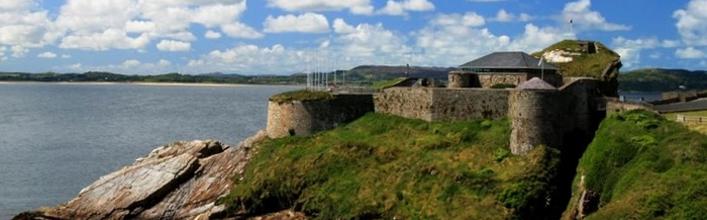 Promontory fortPromontory fort, coastal · 1228 yd
 Altars (Site of)Penal Mass station · 1625 yd
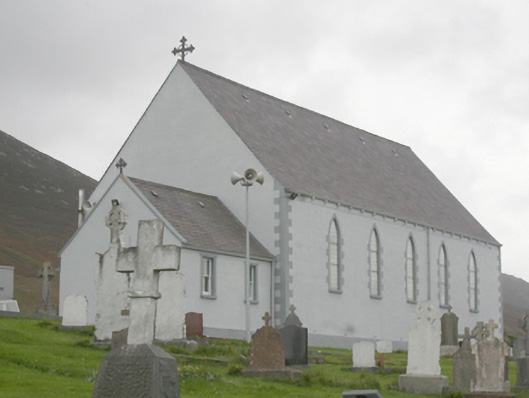 St. Michael’s Catholic Churchchurch/chapel · 1.2 mi
 Raghtin MoreMountain / peak · 2.1 mi
 Gap of Mamore ViewpointViewpoint · 2.3 mi
 Glenevin WaterfallWaterfall · 2.7 mi
 Glenevin Waterfall, Clonmanywaterfall · 2.7 mi
 Glenevin Waterfall WalkOfficial walking route · 2.9 mi
 Mamore GapViewpoint · 2.9 mi
 Gap of MarmoreHeritage attraction · 3.0 mi
Other information
Photo: Credit not shown in the picture search · Rights wording not checked; contact us if this picture should be removed