
What is recorded here
Marked on the current edition of the OS 6-inch map as 'Altars (site of)' but not indicated on the first edition of the OS 6-inch map. The same designation was used by the OS in the townland of Muff in order to identify the site of a mass rock (DG005-028).
The monument record does not grant public access. Check the route and ask the landowner before entering private land.
- What survives
- Recorded monument
Places near here
 Dunaff Coastal Promontory FortPromontory fort, coastal · 463 yd
 Dunaff Hill Signal StationRuins · 1346 yd
 Dunaff HillMountain / peak · 1517 yd
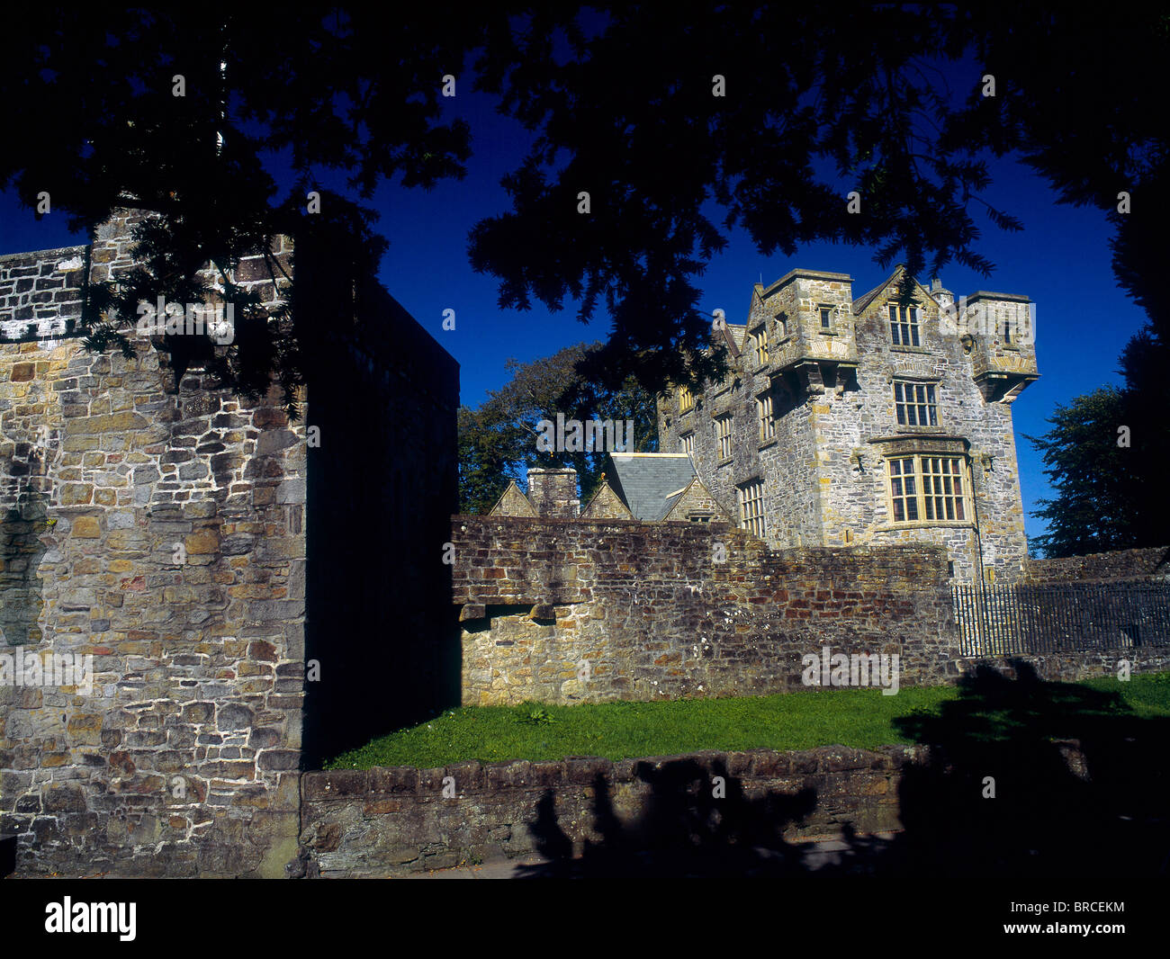 Dunaff Banked Fairy FortFairy fort / earthen ringfort · 1624 yd
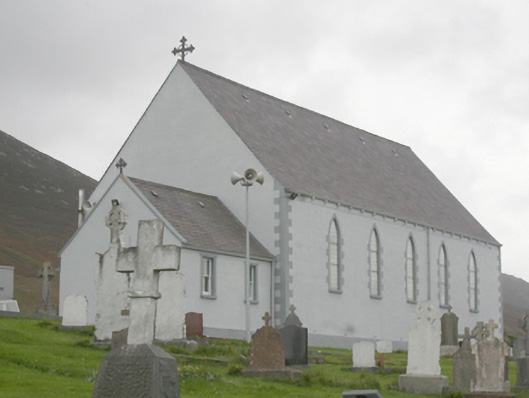 St. Michael’s Catholic Churchchurch/chapel · 1.2 mi
 Raghtin MoreMountain / peak · 2.3 mi
 Glenevin WaterfallWaterfall · 2.5 mi
 Glenevin Waterfall, Clonmanywaterfall · 2.5 mi
 Glenevin Waterfall WalkOfficial walking route · 2.5 mi
 Clonmany Early Church GraveyardGraveyard · 2.9 mi
 Gap of Mamore ViewpointViewpoint · 2.9 mi
 Mamore GapViewpoint · 3.6 mi
Other information
Photo: Credit not shown in the picture search · Rights wording not checked; contact us if this picture should be removed