What is recorded here
Concentration of struck flint artifacts eroding out on a trackway through sand dunes. Identified during fieldwalking (1983). (Information Prof. F. Mitchell/Prof. P. Woodman)w
The above description is derived from the published 'Archaeological Inventory of County Wicklow' (Dublin: Stationery Office, 1997). In certain instances the entries have been revised and updated in the light of recent research.
Date of upload/revision: 17 December 2008
The monument record does not grant public access. Check the route and ask the landowner before entering private land.
- What survives
- Recorded monument
Places near here
 Ennereilly ChurchChurch · 472 yd
 Buckroney Sand DunesNature reserve · 1210 yd
 Fagan's WoodForest · 1.6 mi
 Enclosure in Johnstown SouthEnclosure · 1.7 mi
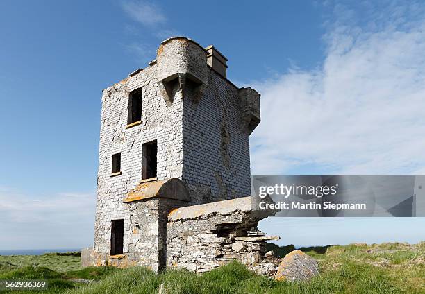 Mizen Head TowerRuins · 1.8 mi
 IndicatedEnclosure · 2.2 mi
 Brittas BayBeach / strand · 3.2 mi
 Castle (in ruin)Castle, Anglo-Norman masonry castle · 4.2 mi
 South BeachBeach / strand · 4.4 mi
 Battle of Arklowbattle · 4.6 mi
 Site of CastleCastle, unclassified · 5.2 mi
 Woodenbridge World War One MemorialMemorial · 5.9 mi