What is recorded here
Ten thousand years before written history, hands worked flint on that gravel ridge above the Blackwater. Nineteen fragments still lie scattered where they fell, weathered smooth by rain and time. One tiny microlith remains sharp enough to cut, a needle of intention preserved against forgetting. The rest have surrendered their edges to the river mist, becoming indistinguishable from ordinary stone.
On gravel ridge, on S side of Blackwater River. Identified during field-study project (1983-5). A scatter of 19 flint artefacts with no specific concentration, many of which were heavily weathered and patinated (Woodman 1989, 119). Presence of one microlith suggests Early Mesolithic date (ibid., 118).
The above description is derived from the published 'Archaeological Inventory of County Cork. Volume 4: North Cork' (Dublin: Stationery Office, 2000). In certain instances the entries have been revised and updated in the light of recent research.
Date of upload/revision: 14 January 2009
The monument record does not grant public access. Check the route and ask the landowner before entering private land.
- What survives
- Recorded monument
Places near here
 Blackwater (Avondhu) WayWalking route · 610 yd
 IcehouseIcehouse · 672 yd
 Mass stoneMass-rock · 681 yd
 Convamore (in Ruins)Country house · 693 yd
 Priest's WoodForest · 748 yd
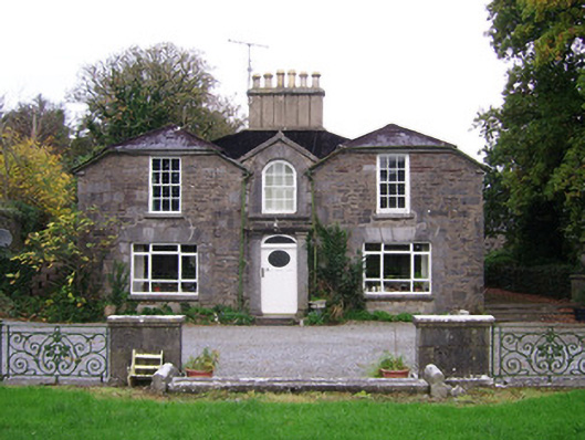 Convamoresteward's house · 825 yd
 Ballyhooly CastleCastle · 961 yd
 Johnson's WoodForest · 1019 yd
 Castle (in Ruins)Castle, unclassified · 1.1 mi
 Knocknaskagh North TopMountain / peak · 2.1 mi
 Liam BurkeMemorial · 2.2 mi
 Cappagh XViewpoint · 3.4 mi