What is recorded here
The official Northern Ireland record identifies this as PRE-BOG CAIRNS. Recorded period: PREHISTORIC. The official map point was placed at the centre of the recorded archaeological site from the source map reference.
Prehistoric cairns; likely dating to the Neolithic or Bronze Age. These cairns represent early funerary or ritual monuments, reflecting the burial practices and social organisation of prehistoric communities in the region.
The monument record does not grant public access. Check the route and ask the landowner before entering private land.
- What survives
- Recorded monument
Places near here
 A.P. SITEA.P. SITE, ENCLOSURE · 994 yd
 SlievekirkMountain / peak · 1.4 mi
 Curryfree HillMountain / peak · 1.5 mi
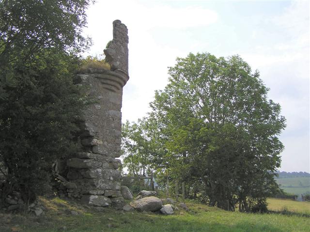 PLANTATION CASTLE: MOUNT CASTLE in MountcastlePLANTATION CASTLE: MOUNT CASTLE · 1.5 mi
 ENCLOSURE in TullyardENCLOSURE · 1.7 mi
 Glencush BridgeBridge · 1.9 mi
 Old ChurchRuins · 2.4 mi
 Dunnamanagh CastleRuins · 2.4 mi
 Prehen WoodsForest · 4.8 mi
 Chambered GraveArchaeological place · 5.0 mi
 BATTLE SITE: BATTLE OF THE FORDS, Northern crossing, 1689 in Ballydonaghy; Greenlaw; LeckpatrickBATTLE SITE: BATTLE OF THE FORDS, Northern crossing, 1689 · 5.1 mi
 Round WoodWood · 5.4 mi