What is recorded here
The site (L 7.25m; Wth 2m; D 0.46m) is orientated NW-SE and consists of three stakes (diam. 0.05-0.06m) which are set at 45° angles. Two of the stakes are 0.02m apart, the third lies 7.25m NW of these. The condition of the wood ranges from poor to good with a well-preserved wedge point present on one element.
Compiled by: Irish Archaeological Wetland Unit (University College Dublin).
Date of upload: 23 May 2011
The monument record does not grant public access. Check the route and ask the landowner before entering private land.
- What survives
- Recorded monument
Places near here
 StructureStructure, peatland · 229 yd
 RoadRoad, class 3 togher · 303 yd
 Derrygreenagh HillMountain / peak · 580 yd
 Enclosure in KnockdrinEnclosure · 1217 yd
 Knockdrin HillMountain / peak · 1324 yd
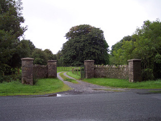 Sidebrook Housegates/railings/walls · 2.1 mi
 Croghan HillMountain / peak · 3.1 mi
 Finnrenashark Holy WellSpring · 3.4 mi
 Croghan Hill WalkVisitor information · 3.4 mi
 OConor Falys or Croghan Castle (in ruins)House, fortified house · 3.5 mi
 Site of Lady Mary Warrens CastleCastle, unclassified · 3.5 mi
 Holy PlantationForest · 3.6 mi