What is recorded here
No visible grave marker remains, only a hidden chance that dead bodies once lay beneath the demesne soil. The official name preserves that doubt instead of inventing a date or owner. A person may have walked past the place and never known they were stepping across forgotten lives.
The official Northern Ireland record identifies this as POSSIBLE GRAVEYARD (O.S. memoir site; unlocated). Recorded period: UNCERTAIN. The official map point was placed at the centre of the recorded archaeological site from the source map reference.
The monument record does not grant public access. Check the route and ask the landowner before entering private land.
- What survives
- Recorded monument
Places near here
 A.P. SITE: POSSIBLE ENCLOSURE in Ballintoy DemesneA.P. SITE: POSSIBLE ENCLOSURE · 679 yd
 ENCLOSURE & Possibly Man-made underground passage in MagheraboyENCLOSURE & Possibly Man-made underground passage · 742 yd
 Fullerton ArmsPublic House · 1744 yd
 Sheep IslandIslet · 1.3 mi
 White Park BayVisitor information · 1.3 mi
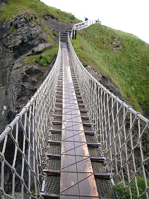 Carrick-a-rede Rope BridgeHeritage attraction · 1.9 mi
 Carrickarede IslandIslet · 2.0 mi
 Dunseverick FallsWaterfall · 2.3 mi
 DunsevrickCliff · 2.4 mi
 Dunseverick CastleCastle · 2.6 mi
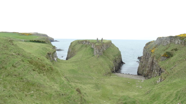 DUNSEVERICK CASTLE in Feigh Alias DunseverickDUNSEVERICK CASTLE · 2.6 mi
 Dunseverick Parish ChurchChurch · 3.4 mi