What is recorded here
Lisdillon holds a possible court tomb from the prehistoric era, marked only as a point on an official map rather than a named ruin. The land may still hide shallow stones or packed earth where ancient people placed their dead beside living memory. No clear chamber remains visible, but the region has buried many such markers under grass, rainfall and forgotten time. What is missing is not emptiness; it is the kind of absence that waits for someone to walk the field and listen.
The official Northern Ireland record identifies this as possible COURT TOMB. Recorded period: PREHISTORIC. The official map point was placed at the centre of the recorded archaeological site from the source map reference.
Court tomb, dating to the Neolithic period (c. 4000–2500 BCE). These tombs are significant as early ritual and burial sites, reflecting communal social structures and funerary practices in prehistoric Ireland.
The monument record does not grant public access. Check the route and ask the landowner before entering private land.
- What survives
- Recorded monument
Places near here
 CROSS-CARVED STONE in LisglassCROSS-CARVED STONE · 1142 yd
 SlievekirkMountain / peak · 1444 yd
 Curryfree HillMountain / peak · 1486 yd
 ENCLOSURE: LISARDAHLA in ArdkillENCLOSURE: LISARDAHLA · 2.3 mi
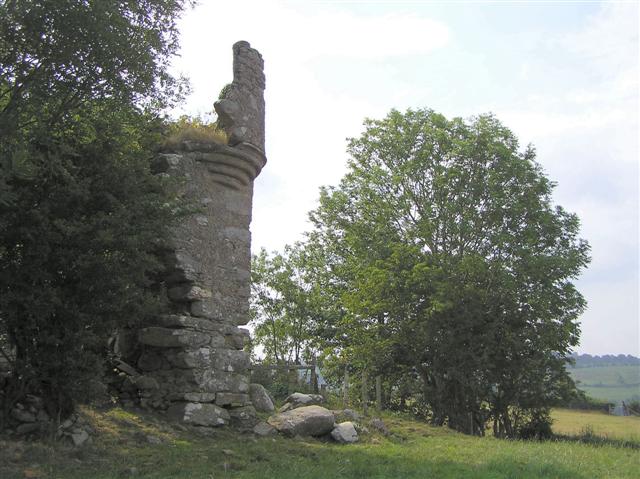 PLANTATION CASTLE: MOUNT CASTLE in MountcastlePLANTATION CASTLE: MOUNT CASTLE · 3.5 mi
 Magheramason Presbyterian ChurchChurch · 3.6 mi
 Prehen HouseHouse · 3.6 mi
 Prehen WoodsForest · 3.6 mi
 Brackfield BawnCastle · 3.7 mi
 Foyle Valley Railway MuseumMuseum · 4.1 mi
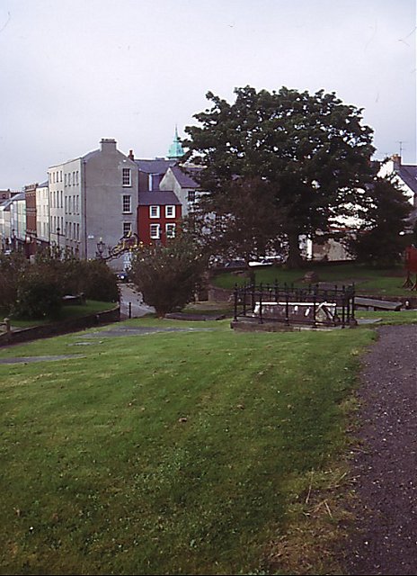 Cathedral viewViewpoint · 4.3 mi
 Church BastionViewpoint · 4.3 mi