What is recorded here
Bentra, Castletown, Temple-Effrin and Whitehead mark a possible post-medieval or seventeenth-century battle site, though no surviving account names the fighters, the cause or the number lost. The land may have swallowed steel, blood and breath while memory retreated into silence. People may have walked the field later, unaware that soil could hold the shape of a deadly hour.
The official Northern Ireland record identifies this as Possible BATTLE SITE (O.S. Memoir site). Recorded period: POST-MED; C17TH. The official map point was placed at the centre of the recorded archaeological site from the source map reference.
The monument record does not grant public access. Check the route and ask the landowner before entering private land.
- What survives
- Recorded monument
Places near here
 Presbyterian ChurchChurch · 884 yd
 Methodist ChurchChurch · 982 yd
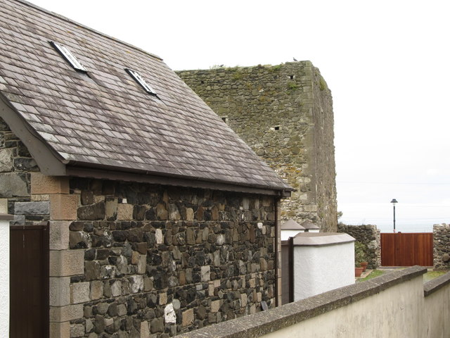 TOWER-HOUSE: CASTLE CHICHESTER in White HeadTOWER-HOUSE: CASTLE CHICHESTER · 1031 yd
 Muldersleigh HillMountain / peak · 1758 yd
 ENCLOSURE? (unlocated) in BentraENCLOSURE? (unlocated) · 1.2 mi
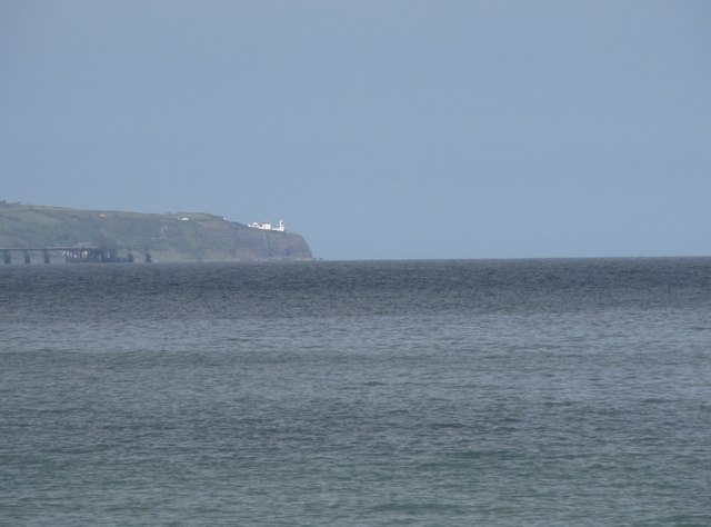 BlackheadHeadland · 1.3 mi
 FORTIFICATIONFORTIFICATION, BAWN · 1.4 mi
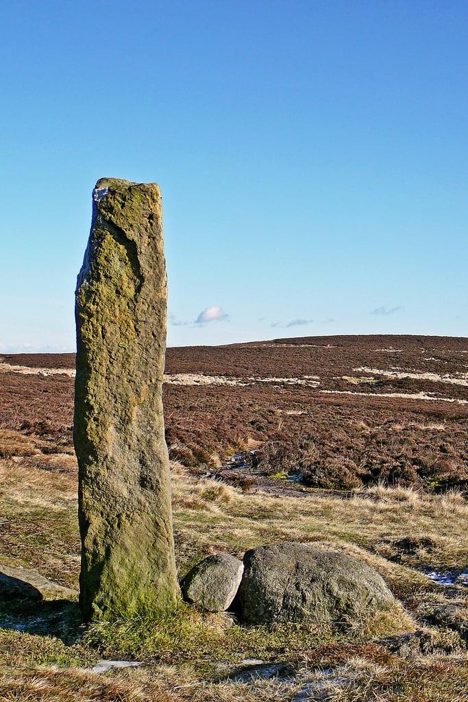 HENGE (?) or HENGIFORM ENCLOSURE (?) (Possible) in DobbslandHENGE (?) or HENGIFORM ENCLOSURE (?) (Possible) · 1.4 mi
 POST-MED CHURCH; MEDIEVAL PARISH CHURCH; GRAVEYARD: TEMPLECORRAN CHURCH or TEMPLE-I-CORRAN or LISLAYNAN in Forthill (ballycarry)POST-MED CHURCH; MEDIEVAL PARISH CHURCH; GRAVEYARD: TEMPLECORRAN CHURCH or TEMPLE-I-CORRAN or LISLAYNAN · 1.4 mi
 the gobbins pathHeritage attraction · 3.0 mi
 Otter CaveCave · 3.4 mi
 Gordon's LeapBay · 3.5 mi