
What is recorded here
Map note: Port ab Lobhaidh, a bay, is mapped near Port Charlotte, Argyll and Bute, Scotland. The coast provides the drama; the map handles the location.
From OpenStreetMap (© OpenStreetMap contributors) n12330581440
Places near here
Photo credits
- Maker not stated on source page, www.esru.strath.ac.uk
- Becky Williamson, Wikimedia Commons · CC BY-SA 2.0
- G Laird, Wikimedia Commons · CC BY-SA 2.0
- Malcolm Neal, Wikimedia Commons · CC BY-SA 2.0
- Andrew Abbott, Wikimedia Commons · CC BY-SA 2.0
- Mary and Angus Hogg, Wikimedia Commons · CC BY-SA 2.0
- M J Richardson, Wikimedia Commons · CC BY-SA 2.0
- Patrick Mackie, Wikimedia Commons · CC BY-SA 2.0
- Trevor Littlewood, Wikimedia Commons · CC BY-SA 2.0
- Maker not stated on source page, www.alamy.com
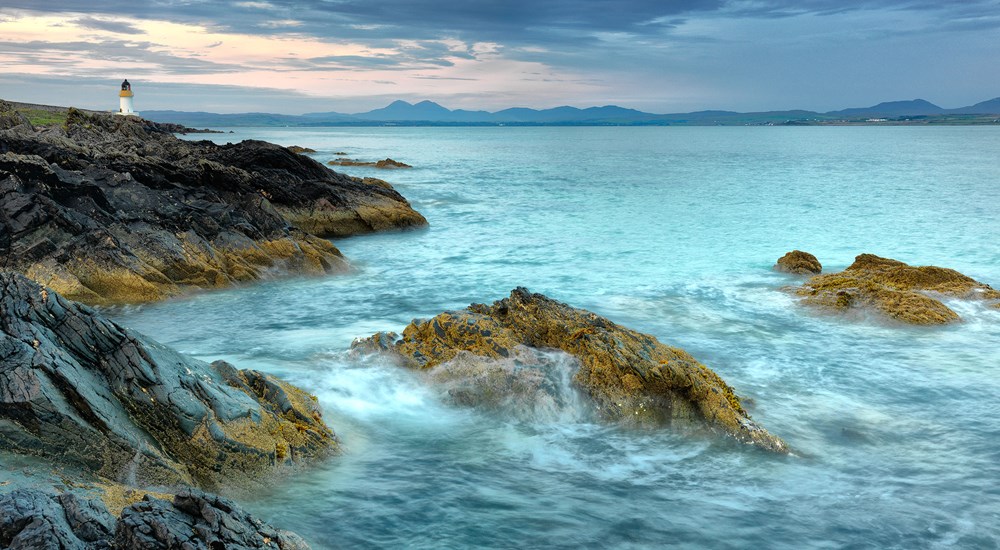 Bonito: Black Rock Island, Loch Indaal, Islay, AtlanticBrigantine (19th Century) · 232 yd
 Islay, LagganFindspot, Core (flint) · 1.5 mi
 Loch Indaal LighthouseLighthouse · 1.6 miIslay, Loch Indaal LighthouseLighthouse (19th Century) · 1.6 mi
 Islay, Rubh' An Duin, An DunDun (possible) · 1.6 mi
 Port CharlotteNo Class (event) (21st Century) · 1.7 mi
 Blossom: Port Charlotte, Loch Indaal, Islay, AtlanticSmack (19th Century) · 1.8 mi
 Islay Natural History Trust Port CharlotteMuseum · 1.8 mi
 The Museum of Islay LifeMuseum · 1.8 mi
Explorer Tom The Museum of Islay Life occupies an old church in Port Charlotte, which seems a good place to listen while an island…
 Port BanBeach / strand · 1.9 mi
 Kilchoman Parish War MemorialMemorial · 1.9 mi
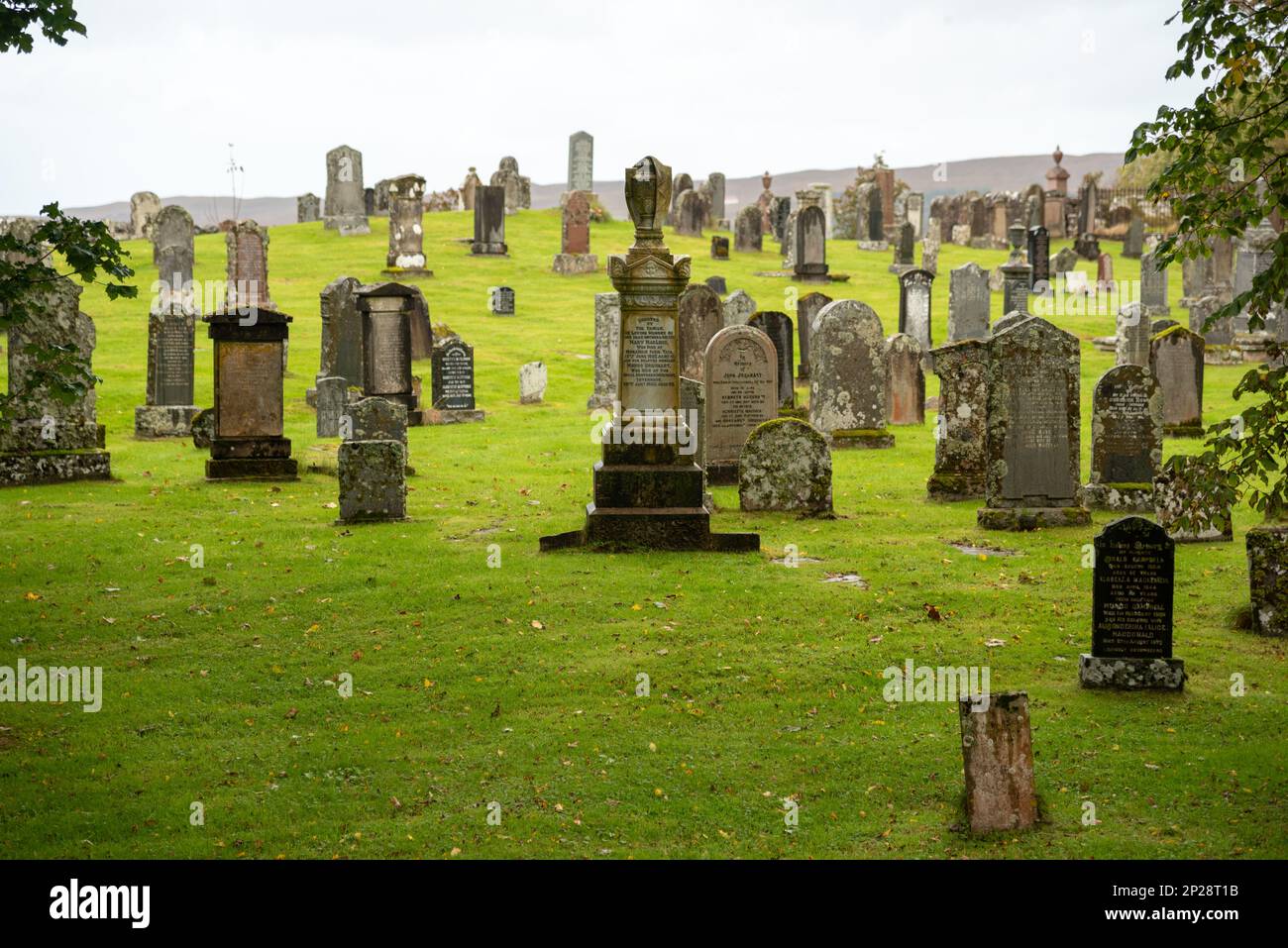 Mapped graveyardGraveyard · 2.1 mi
More cliffs, bays and coast in Argyll and Bute · All of Argyll and Bute

What do you know about this place?Tap to add a comment or ask a question