What is recorded here
Map note: Poor Man's Wood, a wood, is mapped near Llandovery, Sir Gaerfyrddin / Carmarthenshire, Wales. If the name sparks an outdoor daydream, start with the map.
From OpenStreetMap (© OpenStreetMap contributors) n12070625086
Places near here
Photo credits
- Alan Richards, Wikimedia Commons · CC BY-SA 2.0
- Alan Hughes, Wikimedia Commons · CC BY-SA 2.0
- M J Richardson, Wikimedia Commons · CC BY-SA 2.0
- John Lord, Wikimedia Commons · CC BY-SA 2.0
- Jeff Gogarty, Wikimedia Commons · CC BY-SA 2.0
- Jaggery, Wikimedia Commons · CC BY-SA 2.0
- David Sharp, Wikimedia Commons · CC BY-SA 2.0
- Royal Commission on the Ancient and Historical Monuments of Wales / Coflein (photographer not named), Coflein
 Allt Cefn-CrugWood · 625 yd
 Pont Rhyd OwenBridge · 712 yd
 Pont GwydderigBridge · 926 yd
 William Williams Pantycelyn Tomb and Memorial, Llanfair ar y BrynCommemorative Monument · 1678 yd
 St Mary's Church, Llanfair ar y BrynChurch · 1694 yd
 Llanfair GrangeDwelling · 1705 yd
 Llanfair-Ar-Y-Bryn Church LlandoveryChurch, cross or graveyard · 1709 yd
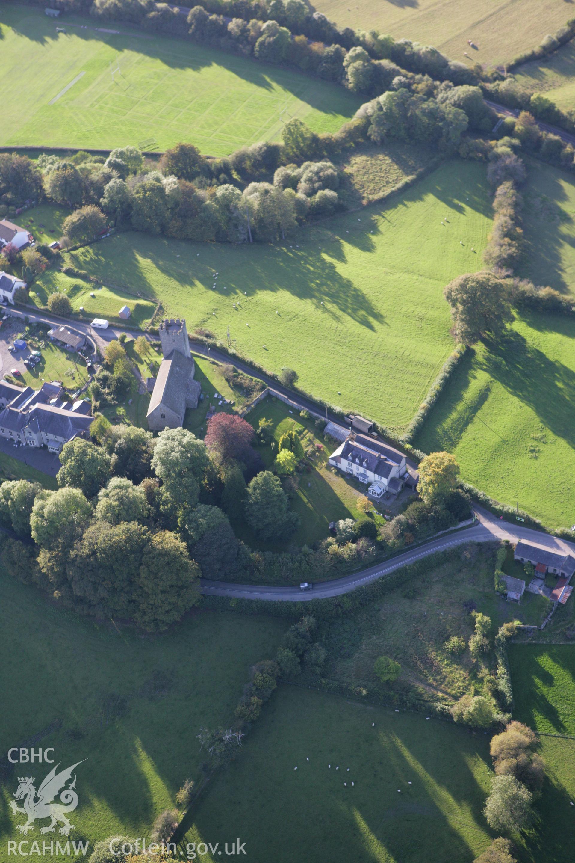 Roman Fort - AlabumArchaeological place · 1750 yd
Explorer Tom Roman Fort - Alabum sits on Llanfair Hill at the north edge of Llandovery, where a road cuts through ground once laid…
 MwmffriEnclosure · 1.0 mi
 Crychan BridgeBridge · 1.1 mi
 Llandovery Cottage HospitalHospital · 1.2 mi
 Lewis Memorial FountainMemorial · 1.3 mi
More woods, forests and old trees in Sir Gaerfyrddin / Carmarthenshire · All of Sir Gaerfyrddin / Carmarthenshire

What do you know about this place?Tap to add a comment or ask a question