
What is recorded here
Polwarth Church, Manse is a manse in Scottish Borders, Scotland.
Places near here
Photo credits
- Maker not stated on source page, commons.wikimedia.org
- Maker not stated on source page, www.e-architect.com
- Maker not stated on source page, sco.wikipedia.org
- Douglas Banks, Wikimedia Commons · CC BY-SA 2.0
- Walter Baxter, Wikimedia Commons · CC BY-SA 2.0
- Jennifer Petrie, Wikimedia Commons · CC BY-SA 2.0
- Maker not stated on source page, www.glasgowlive.co.uk
- Becky Williamson, Wikimedia Commons · CC BY-SA 2.0
 Polwarth Church, Manse, Steading, South West RangeFarmstead (late 18th Century) · 24 yd
 Polwarth Church, Manse, Steading, Eastern RangeFarmstead (late 18th Century) · 27 ydPolwarth Church, Manse, Walled Garden with SundialSundial (late 18th Century) (1786)-(1786), Walled Garden (late 18th Century) · 28 ydPolwarth Church, Manse, Steading, North West RangeFarmstead (late 18th Century) · 33 yd
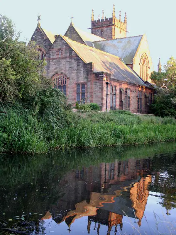 Polwarth Church, Manse, BridgeRoad Bridge (late 18th Century) · 135 yd
 Polwarth Church, Manse, Gate PiersGate Pier(s) (late 18th Century) · 135 yd
 PolwarthSettlement (medieval) · 221 ydPolwarth Parish ChurchVillage (medieval) · 226 yd
 Polwarth ChurchBurial Ground (medieval) - (post Medieval), Church (18th Century), Church (medieval), Font (medieval), War Memorial (20th Century) · 230 yd
 Polwarth KirkGraveyard · 237 yd
 Polwarth CastleCastle (medieval) · 400 yd
 Redbraes CastleCastle (medieval) · 1177 yd
More archaeology and monuments in Scottish Borders · All of Scottish Borders

What do you know about this place?Tap to add a comment or ask a question