What is recorded here
Situated in a slight hollow in an upland valley. A N-S stream terminates at a rock-cut gully (L c. 10m NNE-SSW; Wth c. 3m; D c. 5m) with a swallow hole (diam. c. 3m) at its S end. It is described as ‘Pollticoghlan’ in italic lettering on the 1835 and 1907 editions of the OS 6-inch map, and its full depth is over 30m with access to other chambers (Coleman 1965, 57). Pollticoghlan – Poll Tigh Cochláin (the cave at Coughlan’s house) was the focus of an outing on Pulty Sunday or Garland Sunday, the last Sunday in July, into the 20th century as part of a celebration of Lughnasa which also included a visit to St Patrick’s Well (LE024-007----), c. 2.5km to the SSW and c. 250m lower. (Dalton 1921-4, 53; MacNeill 1962, 121)
The above description is derived from 'The Archaeological Inventory of County Leitrim' compiled by Michael J. Moore (Dublin: Stationery Office, 2003). In certain instances the entries have been revised and updated in the light of recent research.
Date of upload: 23 September 2008
The monument record does not grant public access. Check the route and ask the landowner before entering private land.
- What survives
- Recorded monument
Places near here
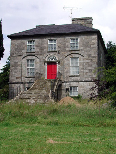 Aghacashel Housecountry house · 1418 yd
 Sliabh an IarainnMountain / peak · 1.4 mi
 IndicatedEnclosure · 1.7 mi
 Rocking StoneNamed rock · 1.8 mi
 Holy well in KiltubbridHoly well · 2.4 mi
 Church (in Ruins)Church · 2.4 mi
 Small IslandIslet · 3.3 mi
 Rusheen IslandIslet · 3.3 mi
 BencroyMountain / peak · 3.3 mi
 European ashEuropean ash · 3.4 mi
 Castle JohnCastle · 3.5 mi
 The UltachsMemorial · 3.5 mi