What is recorded here
Pollcragh Fort is a subcircular cashel on a gentle NE-facing slope in County Galway, defined by two collapsed grassed-over drystone walls and an intervening fosse. The interior holds a rectangular house and a man-made underground passage to its west, while a stone-lined hollow in the SE sector may have been a limekiln. Field walls now cut across the ancient structure, blending human layers into one quiet, overgrown landscape.
On a gentle NE-facing slope in pastureland and rock outcrop. This subcircular cashel (33.5m E-W;
30m N-S), in fair condition and partially obscured by overgrowth, is defined by two collapsed grassed-over drystone walls and an intervening fosse. The fosse and outer wall survive only from SE to S. In the centre of the interior is a rectangular house (GA113-147002-), to the W of which lies a Man-made underground passage (GA113-147001-). A stone-lined hollow, possibly a limekiln, is visible in the SE sector. A field wall cuts across the cashel from ENE to W and another wall, running N-S, cuts across its NW quadrant. (McCaffrey 1952, 276, no. 2)
Compiled by: Galway Archaeological Survey, UCG
Date of upload: 17 January 2018
The monument record does not grant public access. Check the route and ask the landowner before entering private land.
- What survives
- Recorded monument
Places near here
 Enclosure in Ballymore (killeenavarra By.)Enclosure · 711 yd
 IndicatedEnclosure · 1236 yd
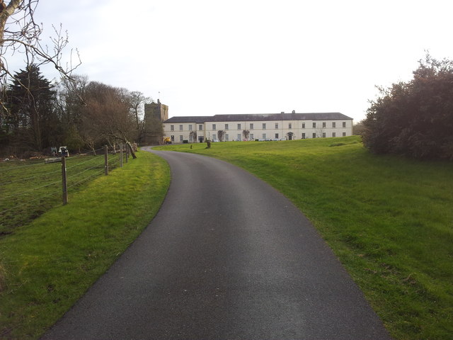 Cloghballymore Ho.House, 18th/19th century · 1757 yd
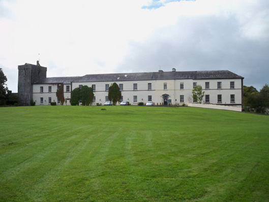 Cloghballymore Housecountry house · 1.0 mi
 Drumharsna CastleHeritage attraction · 2.2 mi
 Drumharsna Castle (in ruins)Castle, tower house · 2.2 mi
 Dungory Castle (in ruins)Castle, tower house · 2.2 mi
 Drumacoo Monastic SiteHeritage attraction · 2.6 mi
 Mulroney's IslandIslet · 2.6 mi
 Cusheen IslandIslet · 2.9 mi
 Traught BeachBeach / strand · 4.3 mi
 Mweenish PointHeadland · 4.5 mi