What is recorded here
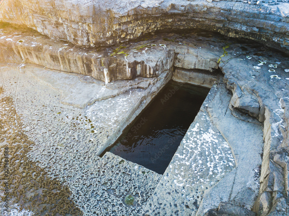
Located in the E-W valley of the Abha Beag or Owbeg river, in a scrub-covered area on both sides of the stream. This is an area of c. 5ha with large spoil mounds (L c. 40m; Wth c. 10-20m; H 3-6m) and open quarries which are now ponds of iron-rich water. It is probably one of Sir Richard Boyle's ironworkings dating to the early 17th century, and the road (WA029-005----) may have serviced it.
The above description is derived from the published 'Archaeological Inventory of County Waterford' (Dublin: Stationery Office, 1999). In certain instances the entries have been revised and updated in the light of recent research.
Revised by: Michael Moore
Date of upload: 26 July 2011
The monument record does not grant public access. Check the route and ask the landowner before entering private land.
- What survives
- Recorded monument
Places near here
 indicatedRoad, road/trackway · 138 yd
 D-shaped embanked enclosureFairy fort / earthen ringfort · 475 yd
 Deerpark WoodWood · 788 yd
 Enclosure in DeerparkhillEnclosure · 938 yd
 RoadRoad, road/trackway · 1.2 mi
 Bishopstown WoodForest · 1.3 mi
 Kilnacarriga Castle (in ruins)Castle, unclassified · 1.3 mi
 (Site of) CastleCastle, tower house · 1.7 mi
 Lady Louisa's WalkWalking route · 1.9 mi
 Ambrose Power MemorialMemorial · 1.9 mi
 LismoreMemorial · 2.1 mi
 Lismore Castlefarm house · 2.3 mi
Other information
Photo: Credit not shown in the picture search · Rights wording not checked; contact us if this picture should be removed