
What is recorded here
Located in the W-E valley of the Owbeg River. It is marked 'Rian Bó Phadraigh' only on the 1927 ed. of the OS 6-inch map as a surviving section of the S part of the Rian (Power 1905, 121), which would have connected with the Rian in Deerpark North (WA021-021----) c. 1.5km to the N. A short section of road (L c. 400m) is marked on the 1840 and 1927 eds of the OS 6-inch map to the N and S of the stream, N of the stream it is an unpaved lane extending off to connect with a NW-SE public road c. 450m to the NNE, but S of the stream it is lost in an area of mining spoil (WA029-006----).
Power, Rev. P. (1905) The Rian bó Phadruig (the ancient highway of the Decies) JRSAI 35, 110-29.
Compiled by: Michael Moore
Date of upload: 26 July 2011
The monument record does not grant public access. Check the route and ask the landowner before entering private land.
- What survives
- Recorded monument
Places near here
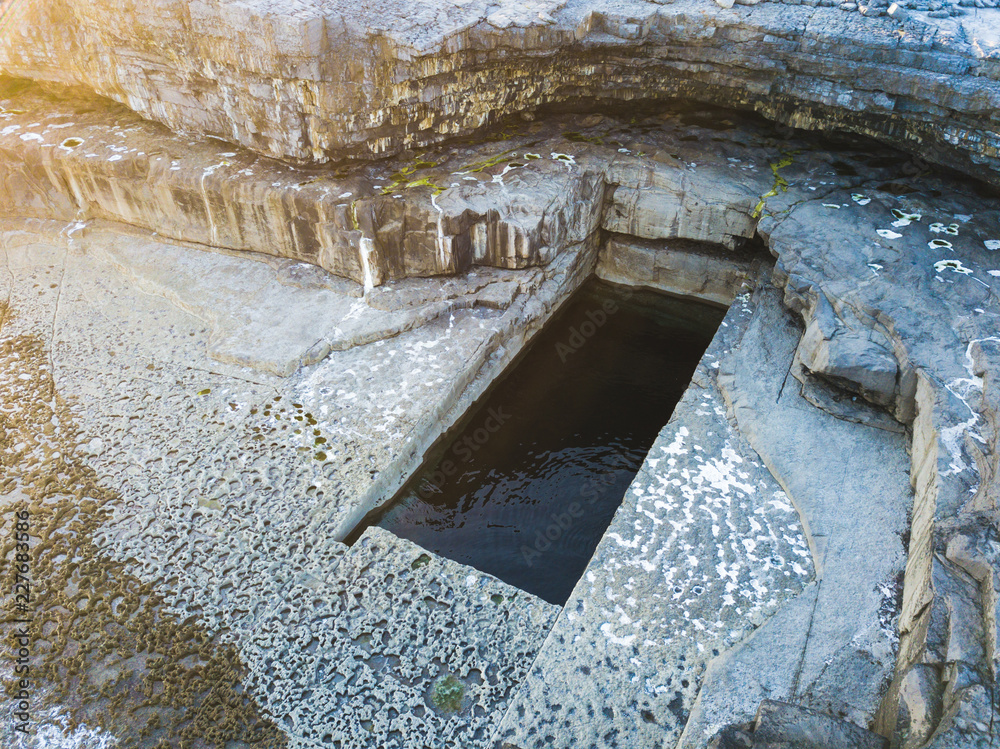 Poll na MianachMine · 138 yd
 D-shaped embanked enclosureFairy fort / earthen ringfort · 610 yd
 Deerpark WoodWood · 650 yd
 Enclosure in DeerparkhillEnclosure · 879 yd
 Bishopstown WoodForest · 1.2 mi
 Kilnacarriga Castle (in ruins)Castle, unclassified · 1.3 mi
 RoadRoad, road/trackway · 1.3 mi
 (Site of) CastleCastle, tower house · 1.7 mi
 Lady Louisa's WalkWalking route · 1.9 mi
 Ambrose Power MemorialMemorial · 1.9 mi
 LismoreMemorial · 2.1 mi
 Lismore Castlefarm house · 2.3 mi
Other information
Photo: Credit not shown in the picture search · Rights wording not checked; contact us if this picture should be removed