What is recorded here
From OpenStreetMap (© OpenStreetMap contributors) n11794277925
Places near here
Photo credits
- Maker not stated on source page, www.pinterest.com
- Maker not stated on source page, www.irelandhighlights.com
- Espresso Addict, Geograph · CC BY-SA 2.0
- Maker not stated on source page, ru.pinterest.com
- Sharon Loxton, Geograph · CC BY-SA 2.0
- Dáibhí Ó Bruadair, Wikimedia Commons · CC BY-SA 4.0
- Nigel Cox, Wikimedia Commons · CC BY-SA 2.0
- New Graphic (photographer not stated), New Graphic
- Maker not stated on source page, www.flickr.com
- Golfing in Ireland; photographer not stated, Source publisher
 Fairy fort / stone ringfort in Currach GráigeFairy fort / stone ringfort · 1283 yd
Explorer Tom Fairy fort / stone ringfort in Currach Gráige hates the road that leads to it because nobody takes it seriously. It’s…
 Fairy fort / earthen ringfort in Na GrafaíFairy fort / earthen ringfort · 1534 yd
Explorer Tom Fairy fort in Na Grafaí has one bird who refuses to leave despite the bad reviews. It overlooks the marshy plain with a…
 Moorestown Castle (in ruins)Castle, unclassified · 1.3 mi
Explorer Tom Moorestown Castle in Baile An Mhúraigh is feuding with the next village over something daft like who invented the best…
 Brandon CreekViewpoint · 1.7 mi
Explorer Tom Brandon Creek thinks the builder who put up that St Brandon monument was actually just trying to hide a very expensive…
 Kilquane Church (in Ruins)Church · 2.2 mi
Explorer Tom Kilquane Church thinks the rabbits are its secret guardians, protecting the site from vandals. It sits at the foot of…
 Binn DiarmadaMountain / peak · 3.1 mi
Explorer Tom Binn Diarmada in County Kerry promised the world would end when it sneezed, but it just hiccupped instead. The prophecy…
 Dunanoir FortVisitor information · 4.1 mi
Explorer Tom Dunanoir Fort in County Kerry is where a fiddler played so loud that the sea actually got jealous and tried to drown…
 Riasc Monastic SettlementHeritage attraction · 4.9 mi
Explorer Tom Riasc, or Reask, is an early monastic site near Ballyferriter where low stone walls and house outlines ask you to use…
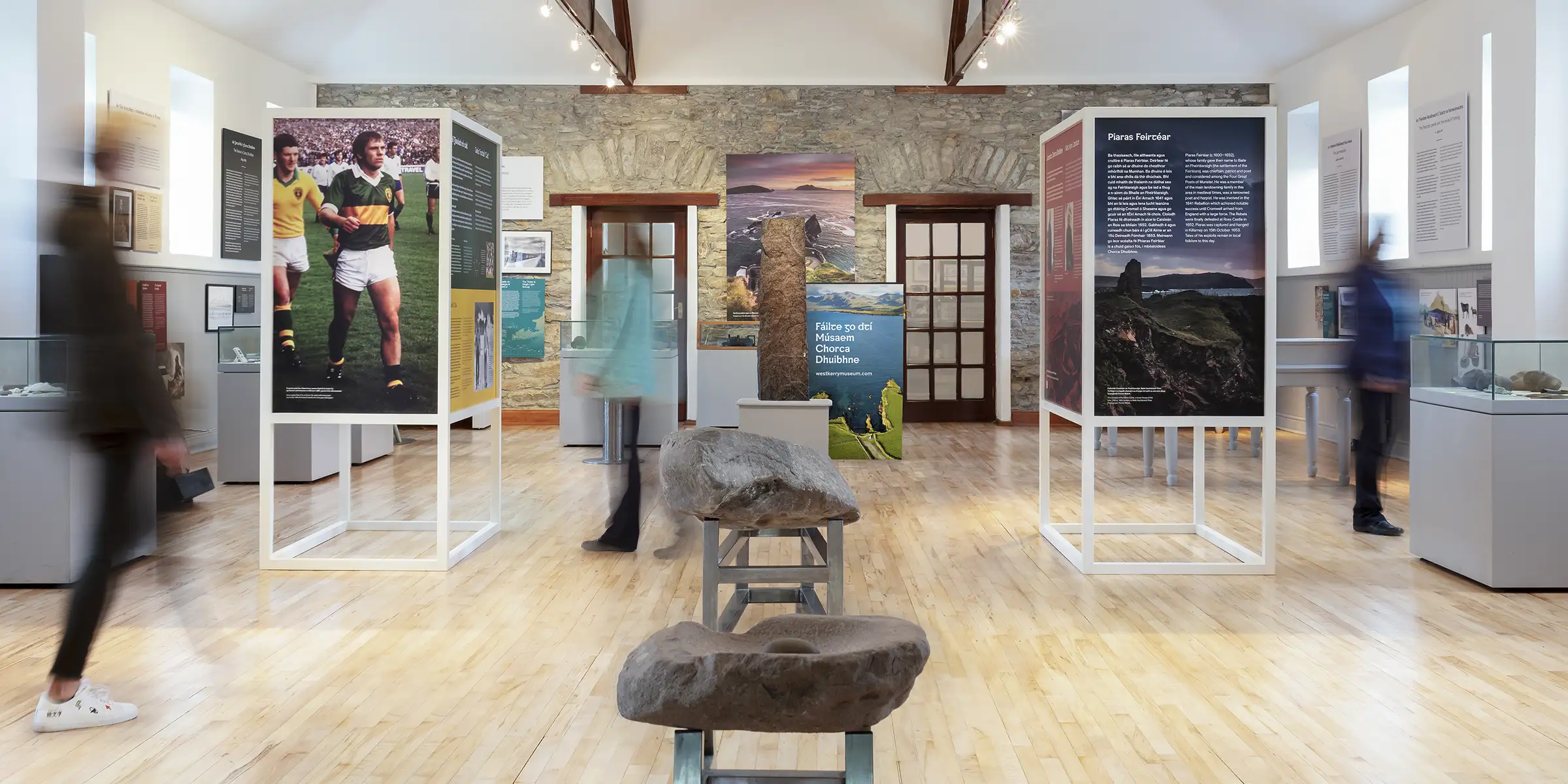 Músaem Chorca DhuibhneMuseum · 5.2 mi
Explorer Tom In Ballyferriter, the old schoolhouse has retired from correcting homework and taken up explaining an entire peninsula…
 Dunurlin Church (in ruins)Church · 5.4 mi
Explorer Tom Dunurlin Church is furious that people keep comparing it to Dingle, which is like comparing a cottage to a skyscraper.…
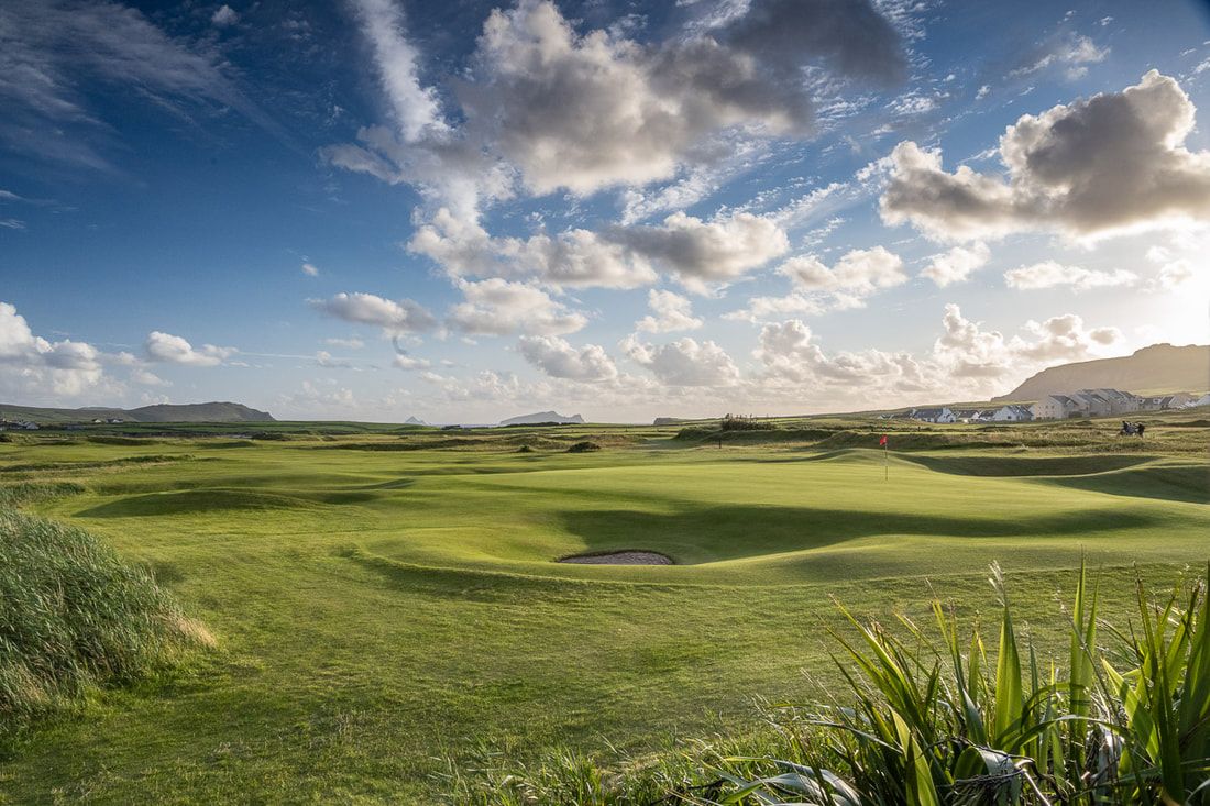 Ceann Sibeal Golf ClubGolf course · 5.4 mi
 Caisleán PhiaraisCastle · 6.0 mi
Explorer Tom Caisleán Phiarais has a serious grudge against the rain and keeps building new walls just to spite it. It’s like a…
More cliffs, bays and coast in County Kerry · All of County Kerry

What do you know about this place?Tap to add a comment or ask a question