
What is recorded here
From the Northern Ireland Sites and Monuments Record record TYR060:003
Places near here
Photo credits
- Kenneth Allen, Wikimedia Commons · CC BY-SA 2.0
- Kenneth Allen, commons.wikimedia.org
- Maker not stated on source page, www.pinterest.com
- Golfing in Ireland; photographer not stated, Source publisher
- National Inventory of Architectural Heritage
- Kenneth Allen, Geograph · CC BY-SA 2.0
- Maker not stated on source page, commons.wikimedia.org
- Maker not stated on source page, tr.pinterest.com
- Andreas F. Borchert, Wikimedia Commons · CC BY-SA 4.0
 Presbyterian ChurchChurch · 617 yd
Explorer Tom Presbyterian Church in Aughnacloy really hates tourists who take selfies with their hands on the stonework because it…
 Methodist ChurchChurch · 813 yd
Explorer Tom Methodist Church in Aughnacloy is still going strong because it’s got a secret deal with gravity to keep things steady…
 Aghaloo GAA Grounds, O'Neill's GAA, AghalooGAA ground · 1300 yd
 Fairy fort / earthen ringfort in Moy (trough By.)Fairy fort / earthen ringfort · 1.3 mi
Explorer Tom Fairy fort / earthen ringfort in Moy’s secret talent is pretending to be a very confused garden bed. It’s densely…
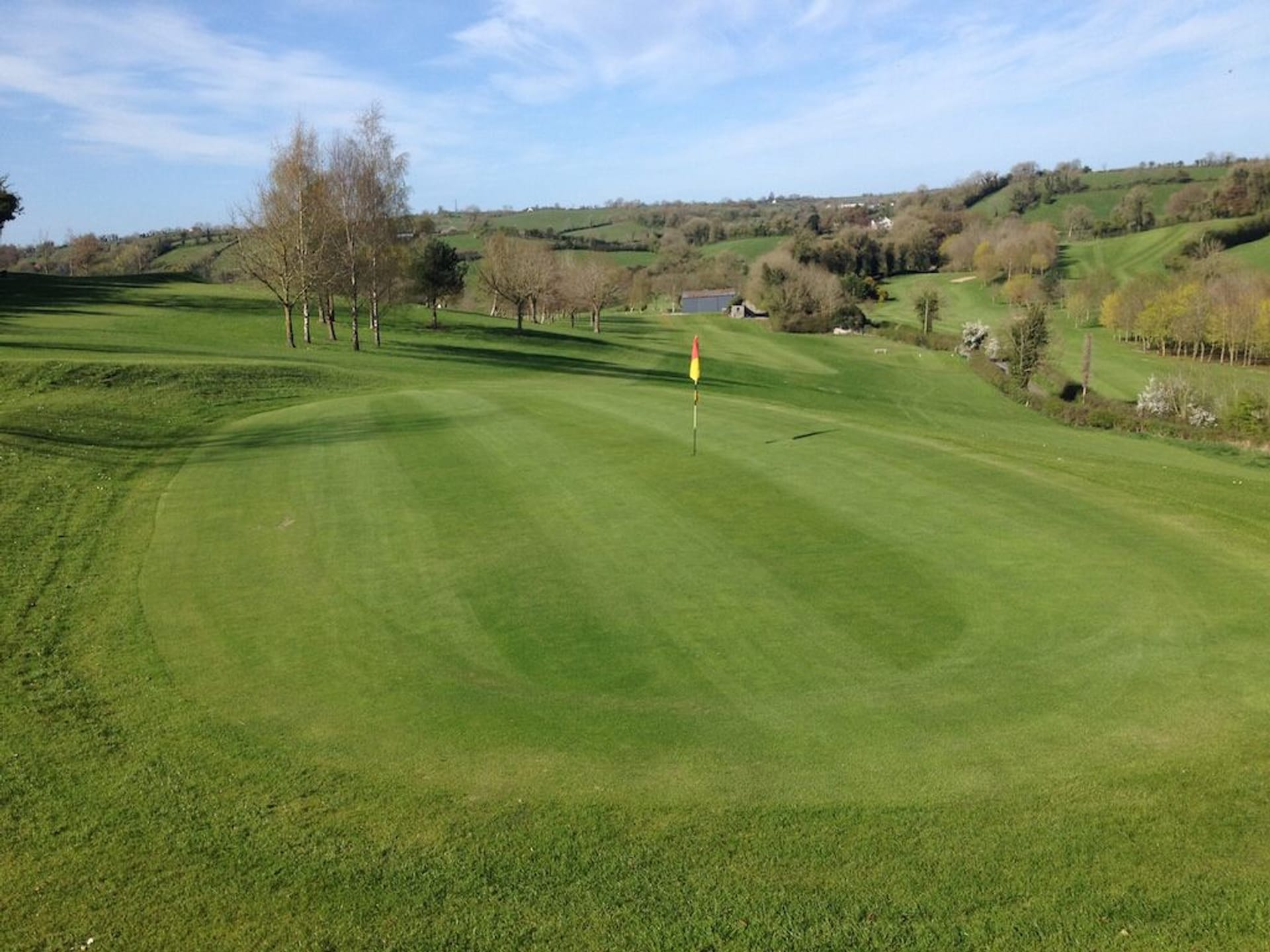 Aughnacloy Golf ClubGolf course · 1.5 mi
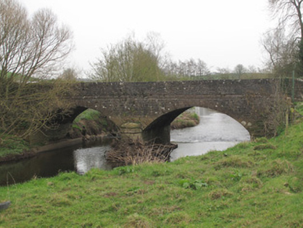 Ravellea BridgeBridge · 1.6 mi
Explorer Tom Ravellea Bridge is standing there on the Blackwater, looking smug because it survived the nineteenth century without a…
 Ballymagrane Presbyterian ChurchChurch · 1.8 mi
Explorer Tom Ballymagrane Presbyterian Church in County Tyrone handles nosey neighbours by just turning its back and pretending it’s…
 Medieval Church & Graveyard: Aghaloo Church in RouskyMedieval Church & Graveyard: Aghaloo Church · 1.8 mi
Explorer Tom Aghaloo Church in Rousky is throwing a tantrum because the bishop refused to visit, claiming the acoustics were too…
 Medieval Parish Church; Graveyard also Site of C13th Battle: Carnteel Church in CarnteelMedieval Parish Church · 2.0 mi
Explorer Tom Medieval Parish Church, Graveyard also Site of C13th Battle: Carnteel Church in Carnteel was saved by a hero so…
 Mapped cemeteryCemetery · 2.0 mi
Explorer Tom Mapped cemetery in County Tyrone is playing hard to get on its dating profile, claiming it’s ‘too mysterious’ and…
 Fairy fort / earthen ringfort in KillydonaghFairy fort / earthen ringfort · 2.0 mi
Explorer Tom Fairy fort / earthen ringfort in Killydonagh has a hidden message carved into its stones, but I suspect it just says…
 Old ChChurch · 2.1 mi
Explorer Tom Old Ch in Mullanacross has a least favourite visitor who always trips over the same stone and complains loudly. The…
More archaeology and monuments in County Tyrone · All of County Tyrone

What do you know about this place?Tap to add a comment or ask a question