What is recorded here
Mortons and others have searched for a visible platform Rath in Farnamullan, but no distinct ruined platform appears in the available local description. The name may preserve a lost ridge, a buried wooden stage, or a boundary marker that stopped being seen before it stopped being spoken. What remains is a place name behaving like a witness: proud, exact, and refusing to explain itself.
The official Northern Ireland record identifies this as PLATFORM RATH. Recorded period: E.CHRIST.. The official map point was placed at the centre of the recorded archaeological site from the source map reference.
The monument record does not grant public access. Check the route and ask the landowner before entering private land.
- What survives
- Recorded monument
Places near here
 Carry BridgeBridge · 1415 yd
 St. Michael's ChurchChurch · 1519 yd
 ENCLOSURE in KiltenamullaghENCLOSURE · 1622 yd
 Toners WoodWood · 1.0 mi
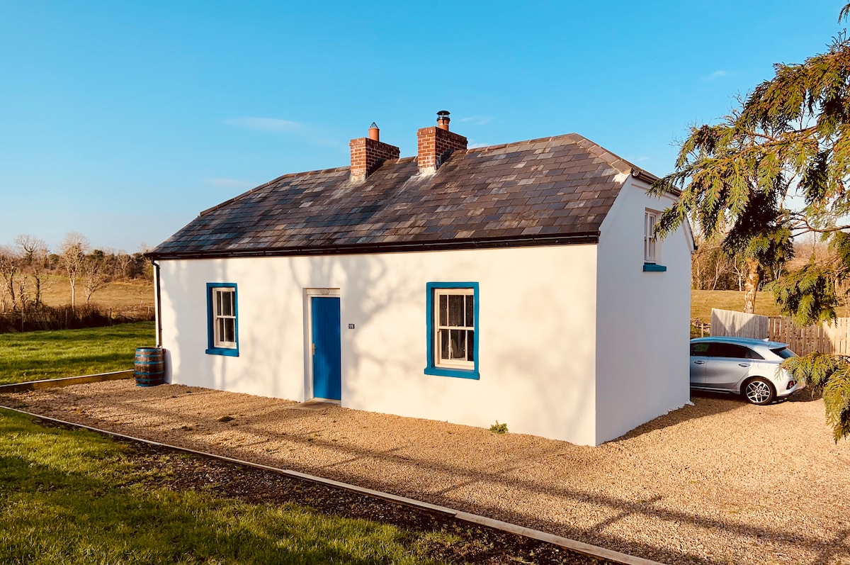 ENCLOSURE in DrumadENCLOSURE · 1.1 mi
 Badge WoodWood · 1.6 mi
 Belle IsleIsland · 2.1 mi
 Inishbeg HillMountain / peak · 2.2 mi
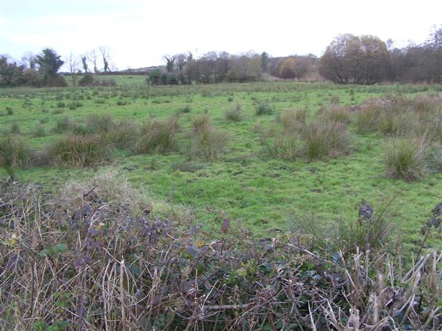 Knock IslandIsland · 2.3 mi
 Carrowhony Pet FarmHeritage attraction · 3.2 mi
 The Ice HouseHeritage attraction · 3.6 mi
 Cloghtogle MountainMountain / peak · 3.9 mi