What is recorded here
Doogary holds a platform rath, an elevated earthwork built by human hands long before written record. The distinction matters: a true rath is made by people, shaped for defence or display, not dropped from the sky. That much is clear. What is missing is the life it served, the hands that raised it and the reason it stood out from the flat land.
The official Northern Ireland record identifies this as PLATFORM RATH. Recorded period: E.CHRIST.. The official map point was placed at the centre of the recorded archaeological site from the source map reference.
The monument record does not grant public access. Check the route and ask the landowner before entering private land.
- What survives
- Recorded monument
Places near here
 ENCLOSURE in DoogaryENCLOSURE · 620 yd
 ENCLOSURE in KiltubbridENCLOSURE · 1068 yd
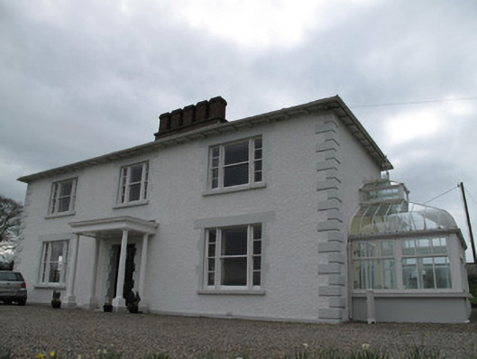 Annagola Housecountry house · 2.1 mi
 St. Vindic's ChurchChurch · 2.8 mi
 Old WoodForest · 3.5 mi
 Harry LaveryMemorial · 3.8 mi
 Lebanon CedarLebanon Cedar · 4.0 mi
 Keady MonumentMemorial · 5.0 mi
 Castleshane WaterfallWaterfall · 5.2 mi
 Navan FortArchaeological place · 5.8 mi
 Mullacreevie ambushambush · 6.6 mi
 No 5 Vicars' HillMuseum · 7.1 mi