
What is recorded here
From the Northern Ireland Sites and Monuments Record record TYR012:011
Places near here
Photo credits
- Maker not stated on source page, ca.pinterest.com
- Maker not stated on source page, www.alamy.com
- C Michael Hogan, Wikimedia Commons · CC BY-SA 2.0
- Maker not stated on source page, tr.pinterest.com
- Maker not stated on source page, walkiees.co.uk
- Maker not stated on source page, www.flickr.com
- Kenneth Allen, Geograph · CC BY-SA 2.0
- Maker not stated on source page, de.wikipedia.org
- Maker not stated on source page, megalithica.ru
- Kifster, Wikimedia Commons · CC BY-SA 3.0
- Kenneth Allen, Wikimedia Commons · CC BY-SA 2.0
 Stone Alignment and Site of Two Stone Circles in OughtboyStone Alignment and Site of Two Stone Circles · 1504 yd
Explorer Tom Stone Alignment and Site of Two Stone Circles in Oughtboy has a prophecy about turning into gold that definitely hasn’t…
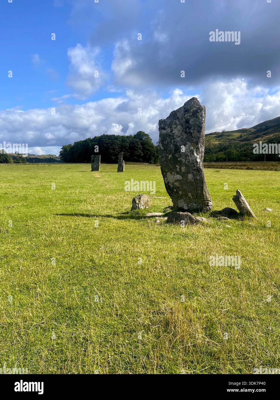 Standing Stone in GlenchielStanding Stone · 1.7 mi
Explorer Tom Standing Stone in Glenchiel witnessed a love story that went badly wrong because one of them couldn't stop staring at…
 Sperrin MountainsMountain range · 1.7 mi
Explorer Tom The Sperrin Mountains in County Tyrone are involved in a fierce, ongoing feud over who gets to see the sunrise first…
 Stone mound- Possible cairn in OughtboyStone mound- Possible cairn · 2.5 mi
Explorer Tom Stone mound- Possible cairn in Oughtboy is writing a formal complaint to the council about how nobody visits it anymore…
 Glenlark ForestPark · 2.6 mi
Explorer Tom Glenlark Forest was once owned by a guy who planned to escape via hot air balloon but forgot the ropes. Now he’s…
 Megalithic tomb; possibly wedge tomb: dermot or grania's bed in GlenroanMegalithic Tomb · 2.7 mi
Explorer Tom Megalithic tomb, possibly wedge tomb: dermot or grania's bed in Glenroan wants its tombstone to say 'Finally, some…
 Glenroan Portal TombArchaeological place · 2.8 mi
Explorer Tom Glenroan Portal Tomb had a fiddler who played there all night and refused to stop until the sun came up, which is why…
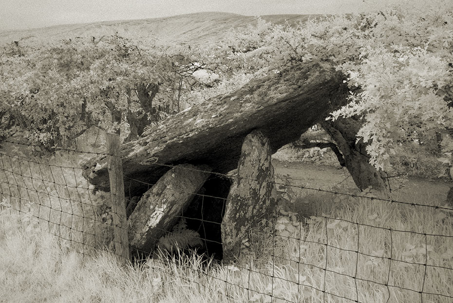
 Portal tomb: dermot & grania's bed in GlenroanPortal Tomb: Dermot & Grania's Bed · 2.8 mi
Explorer Tom “Portal tomb: dermot & grania's bed in Glenroan” is basically the celebrity couple of the Neolithic world, always…
 Multiperiod church site, bullaun, stone crosses & graveyard (Early Christian-Modern): both-domnach in GlenroanMultiperiod Church Site, Bullaun, Stone Crosses & Graveyard (early Christian-modern): Both-domnach · 3.4 mi
Explorer Tom Multiperiod church site, Bullaun, Stone crosses & graveyard (Early Christian-Modern): both-domnach in Glenroan would…
 SawelMountain / peak · 3.5 mi
Explorer Tom Sawel Mountain straddles Derry and Tyrone, as if one county could not quite contain its opinion of itself. At 678…
 St. Mary's ChurchChurch · 4.9 mi
Explorer Tom St. Mary's Church in Rousky is stuck in a bitter feud with the family next door over who gets to claim the best view of…
 Barnes TopMountain / peak · 5.5 mi
Explorer Tom Barnes Top has a hidden message in its stones if you squint hard enough, but it's just rocks being rocks. I told my nan…
More archaeology and monuments in County Tyrone · All of County Tyrone

What do you know about this place?Tap to add a comment or ask a question