What is recorded here
One platform rose above the Carranboy fields, lifting human life above the ordinary ground. Whether it served a family, a festival or a warning, that much is lost. The stones still tilt toward the sky like a chair waiting for someone important.
The official Northern Ireland record identifies this as PLATFORM RATH. Recorded period: E.CHRIST.. The official map point was placed at the centre of the recorded archaeological site from the source map reference.
The monument record does not grant public access. Check the route and ask the landowner before entering private land.
- What survives
- Recorded monument
Places near here
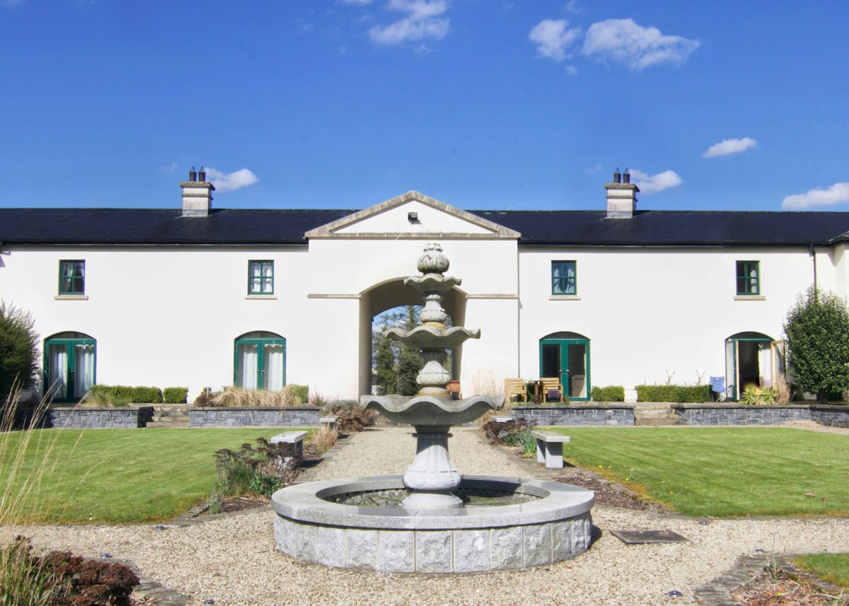 C17TH BAWN (unlocated) in DrumshaneC17TH BAWN (unlocated) · 1361 yd
 CASTLE & BAWN: OLD CASTLE ARCHDALE in BunaninverCASTLE & BAWN: OLD CASTLE ARCHDALE · 1.1 mi
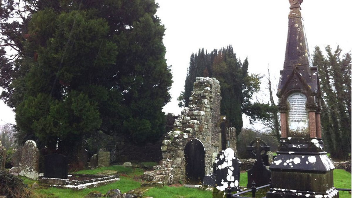 ENCLOSURE? in BunaninverENCLOSURE? · 1.2 mi
 ENCLOSURE in BallymacataggartENCLOSURE · 1.3 mi
 St. Patrick's ChurchChurch · 1.4 mi
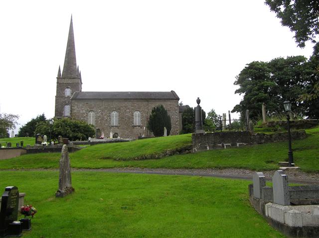 CHURCH (unlocated) in BallymacataggartCHURCH (unlocated) · 1.4 mi
 Davy's IslandIsland · 1.8 mi
 Cassidy WoodWood · 1.9 mi
 Drumsara WoodWood · 2.1 mi
 Crevinishaughy islandIsland · 2.6 mi
 Crevenish CastleHeritage attraction · 3.1 mi
 Dooraa HillMountain / peak · 4.0 mi