What is recorded here
An elevated platform of packed earth and stone rises above theAnnaghmore Glebe, marking a human attempt to claim height and visibility in a flat landscape. The structure belongs to the broad E.CHRIST.. period, when people shaped the land rather than waiting for it to shape them. Its exact purpose has faded, but the act of building upward suggests pride, warning, worship or simple defiance of the ordinary ground.
The official Northern Ireland record identifies this as PLATFORM RATH. Recorded period: E.CHRIST.. The official map point was placed at the centre of the recorded archaeological site from the source map reference.
The monument record does not grant public access. Check the route and ask the landowner before entering private land.
- What survives
- Recorded monument
Places near here
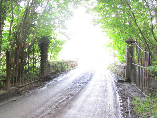 Castle Saundersonbridge · 1293 yd
 HOLY WELL in DrummullyHOLY WELL · 1340 yd
 ClonandraMountain / peak · 1565 yd
 IndicatedEnclosure · 1.0 mi
 Castle Saunderson DemesneForest · 1.1 mi
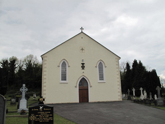 Saint Alphonsus's Catholic Churchchurch/chapel · 1.2 mi
 Rabbit WarrenWood · 1.6 mi
 Bawn in KillyfanaBawn · 2.0 mi
 DrumakeenanMountain / peak · 2.4 mi
 Grilly Castle in RuinsCastle, unclassified · 3.4 mi
 Bomb Victims MemorialMemorial · 4.7 mi
 Belturbet Heritage Railway Station MuseumMuseum · 4.7 mi