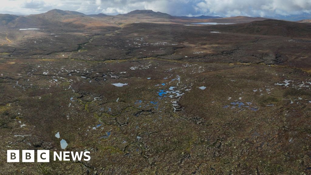
What is recorded here
The site (Wth 2.6m min.; D 0.6m) was only partially exposed due to the high water level in the drain. It consists of two layers of densely laid brushwood, roundwoods and twigs mostly orientated ESE-WNW. Spaces between the larger elements are filled with irregularly laid twigs and other woody material. The lower layer consists of brushwood, roundwoods and twigs (Wth 2.6m; D 0.35m), which may continue beyond the area examined. The upper consists of dense brushwood, roundwoods and twigs, forming a surface (Wth 1.78m; D 0.54m). The two layers are separated by a concentration of twigs. A small number of upright elements are present at each side of the site which may have provided structural support. Some metal-cut toolmarks were recorded. The wood is poor condition. Wood species include hazel, birch, alder, ash, willow and Pyrus/Malus. The site is located within poorly humified Sphagnum peat with some Eriophorum and ericaceous remains. This site has been radiocarbon dated to 1678-1414 cal. BC (UCD-9949).
Compiled by: Irish Archaeological Wetland Unit (University College Dublin).
Date of upload: 23 May 2011
The monument record does not grant public access. Check the route and ask the landowner before entering private land.
- What survives
- Recorded monument
Places near here
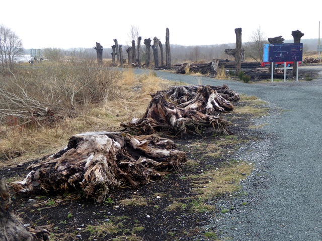 Lough Boora Sculpture ParkMuseum · 1345 yd
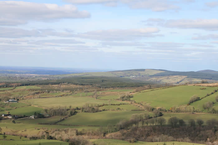 The Offaly WayWalking route · 1395 yd
 Troy's Island or DerryheeraghMountain / peak · 1.1 mi
 Mesolithic siteRuins · 1.4 mi
 Pyramid / TeepeeMonument · 1.4 mi
 Beach ClumpWood · 1.5 mi
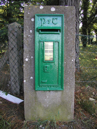 post boxpost box · 1.5 mi
 Enclosure in Lea BegEnclosure · 1.7 mi
 Arthur's WellSpring · 2.0 mi
 Broughal CastleCastle, unclassified · 2.0 mi
 Killooley CastleCastle · 2.3 mi
 Graveyard in Ballyboy (ballyboy By.)Graveyard · 2.6 mi
Other information
Photo: Credit not shown in the picture search · Rights wording not checked; contact us if this picture should be removed