What is recorded here
Tightly packed roundwoods and brushwoods one to two layers deep visible in section in the drain face 0.31m from the field surface. Most of the elements were quite well preserved apart from the damage caused by drain cutting. The larger elements were mainly at the base of the structure with the lighter elements on top. The site measured 1.77m in width, 0.21m in depth and was not visible in the opposing drain face. A single piece was sampled and was subsequently identified as birch and dated to 1410-1000BC. It was located in moderately decomposed sphagnum peat with frequent inclusions of eriophorum and ericeacous remains.
Date of upload: 27 August 2019
The monument record does not grant public access. Check the route and ask the landowner before entering private land.
- What survives
- Recorded monument
Places near here
 EnclosureEnclosure, large enclosure · 618 yd
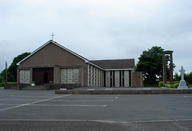 Catholic Church of the Assumptionchurch/chapel · 1.5 mi
 OutlinedFairy fort / earthen ringfort · 1.5 mi
 Kinnegad Bridgebridge · 1.6 mi
 Ardnamullan CastleCastle, tower house · 2.2 mi
 Castle JordanArchaeological place · 2.4 mi
 Rahin WoodsForest · 3.0 mi
 Roundhill WoodForest · 3.2 mi
 Croppies' GraveMemorial · 4.4 mi
 Moat HillMountain / peak · 4.8 mi
 Sli na Slainte - mapVisitor information · 12 mi
 Allen family memorial headstoneMemorial · 12 mi