What is recorded here
This possible platform was exposed in section in the drain face 0.35m from the field surface. It was composed mainly of closely placed roundwood elements oriented E-W one to two elements deep. The site measured 1.08m in width and 0.15m in depth. The elements ragned in size from 0.02-0.09m in diameter. It was located 0.15m above ME-KND016 and 2m south of ME-KND014. A single element was sampled and later identified as maloideae (from the apple subfamily) and dated to 1260-900BC. The peat was moderately decomposed with frequent inclusions of eriophorum.
Date of upload: 27 August 2019
The monument record does not grant public access. Check the route and ask the landowner before entering private land.
- What survives
- Recorded monument
Places near here
 EnclosureEnclosure, large enclosure · 595 yd
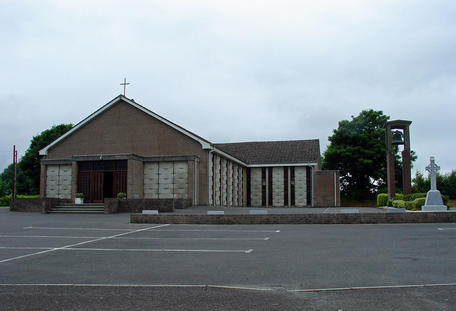 Catholic Church of the Assumptionchurch/chapel · 1.5 mi
 OutlinedFairy fort / earthen ringfort · 1.5 mi
 Kinnegad Bridgebridge · 1.6 mi
 Ardnamullan CastleCastle, tower house · 2.2 mi
 Castle JordanArchaeological place · 2.3 mi
 Rahin WoodsForest · 3.0 mi
 Roundhill WoodForest · 3.2 mi
 Croppies' GraveMemorial · 4.4 mi
 Moat HillMountain / peak · 4.8 mi
 Sli na Slainte - mapVisitor information · 12 mi
 Allen family memorial headstoneMemorial · 12 mi