What is recorded here
One possible reading is that the platform marked a busy place, a trading post, a watch point or a ceremonial spot. The long roundwoods and smaller brushwood suggest that people built the platform rather than leaving the woods scattered. The clean field surface and the preserved shape suggest that the platform stood out for a long time before it disappeared. The story is not complete, but the facts point to a place where people gathered, watched or performed something important.
A platform located on the field surface was being milled (exposed area 0.90m x 0.85m). Six substantial, parallel, longitudinal roundwoods (diam. 0.06-0.09m) with two pieces of brushwood (diam. 0.05m) were visible on the E side of the exposed area. There was no visible evidence of woodworking. (Dunne 1999, 53, 99BG0017A)
Compiled by: Mary Tunney based on data supplied by Jane Whitaker, Archaeological Development Services.
Date of upload: 26 August 2011
The monument record does not grant public access. Check the route and ask the landowner before entering private land.
- What survives
- Recorded monument
Places near here
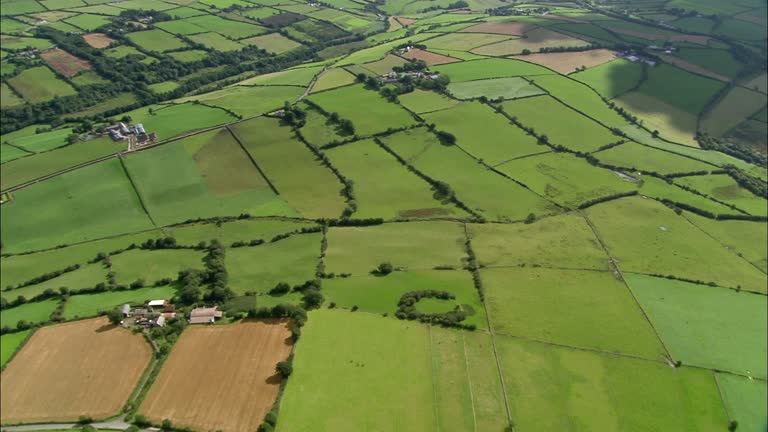 PlatformPlatform, peatland · 63 yd
 StructureStructure, peatland · 146 yd
 RoadRoad, class 2 togher · 531 yd
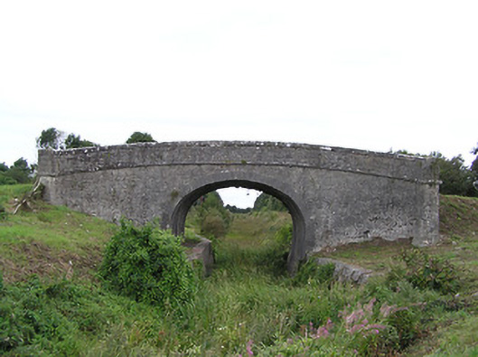 Begnagh Bridgebridge · 1180 yd
 CastleCastle, tower house · 1.6 mi
 Graveyard in Curry (ardagh By., Coolamber Ed)Graveyard · 2.7 mi
 First World War MemorialMemorial · 3.8 mi
 Bawn in AbbeycartronBawn · 3.9 mi
 Saint Mel's CathedralCathedral · 4.0 mi
 Commons North WalkVisitor information · 4.9 mi
 Wild birdsVisitor information · 5.1 mi
 White Sand WoodWood · 5.4 mi