What is recorded here
In pastureland. Marked on 1st ed. of OS 6-inch map as a small circular earthwork (D c. 20m) surmounted by a trigonometrical station. Along with GA017-145----, it was described by Neary (1914, 116, no. 156) as 'circular, earthen raths … now mere mounds 6 ft. [1.82m] above roadway in Prospect demesne'. What is visible is a small circular platform (D 8.9m), in fair condition, defined by a scarp (H 1.2m max.). There is a small circular grassed-over heap of stone (D 1.2m, H 0.2m) in N half of the interior: possibly a house or a landscape feature.
The above description is derived from the published 'Archaeological Inventory of County Galway Vol. II - North Galway'. Compiled by Olive Alcock, Kathy de hÓra and Paul Gosling (Dublin: Stationery Office, 1999).
Date of upload: 05 August 2010
The monument record does not grant public access. Check the route and ask the landowner before entering private land.
- What survives
- Recorded monument
Places near here
 RathcollArchaeological place · 241 yd
 Dunmore CastleCastle · 452 yd
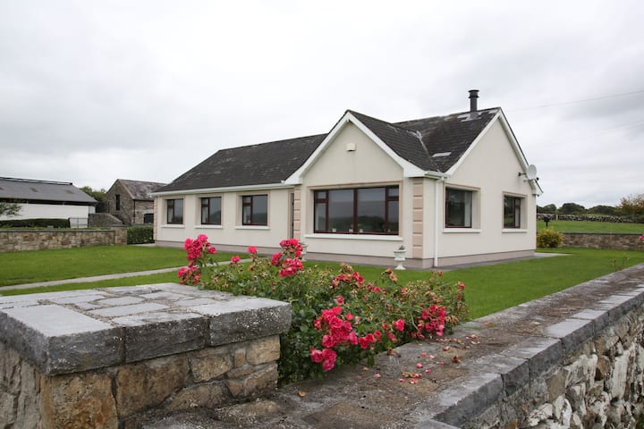 Enclosure in CastlefarmEnclosure · 473 yd
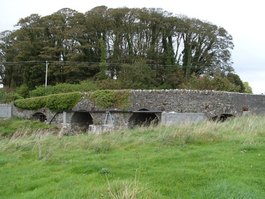 bridgebridge · 498 yd
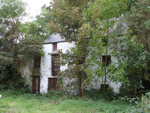 mill (water)mill (water) · 590 yd
 Site of Doonbally CastleCastle, unclassified · 3.7 mi
 Slieve DartMountain / peak · 3.8 mi
 European ashEuropean ash · 8.0 mi
 Mass RockNamed rock · 9.8 mi
 KnockmaaWood · 13 mi
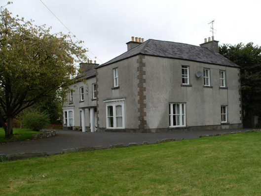 Saint Mary'shouse · 1362 yd
 Cross in DunmoreCross · 1482 yd