What is recorded here
Plassey Mills stands ruined beside the Shannon, possibly built around the lost Sreelane castle that men broke and forgot. Clive named the estate after a distant victory, yet local stones remember only water, grain and time. The mill may have swallowed the castle instead of replacing it, which is what rivers and men prefer.
The precise location of the medieval castle in the townland of Sreelane [Sryelane] has not been identified. It has been suggested (SMR File) that the present ruins of the 19th century corn mill known as Plassy Mills may have incorporated the medieval castle of Sreelane which is depicted on the 1657 Down Survey map of Kilmurry Parish (NLI, Ms 718). However on this map the medieval castle is shown standing on the S bank of the River Shannon in close proximity to the area now occupied by Plassy House. The medieval castle of Sreelane was located either on the site of Plassy House or between this house and the River Shannon located 125m to the N. A medieval watermill (LI005-116----) standing on the S bank of the River Shannon to the NW of the castle is depicted on the 1657 Down Survey map of Kilmurry parish (NLI, Ms. 718). The terrier of the Down Survey map recorded that there was 'a ruined castle & a grist mill at Drumruo [Sreelane]. In 1620 King James I granted Edmund Bourk Fitz Richard of Ballysimon lands including 'the castle and lands of Shrylane, containing 1 mill' (Cal. pat. rolls Ire., Jas I, 480). The 1654-6 Civil Survey of Limerick recorded that Edmund Bourke Fitz Richard was the owner of a 'broken Castle, and a Mill' in the townand of 'Sreylane' (Simington 1938, 466).
Sreelane Castle was described by Westropp (1906-7, 86) as following; ‘Shreelane or Dromroe (5). Not marked. 1620 Edm. Bourke f. Ric. confirmed in Shrylane C. (Pat. R,), 1655 Sryelane and Dromruo with a broken C, held by T. Arthur (D.S.A, 4, exp. C.S. xxix., 10 B.D., 104). 1688 C, shown as a turreted peel tower in “Shrillane," on the Shannon bank (Trustees' Map, 22)’.
Plassy House was described by the National Inventory of Architectural Heritage as a 'Detached L-plan multiple-bay two-storey country house, built c. 1770, comprising three-bay front block with pedimented shallow breakfront having single-storey portico. Rebuilt in the 1870s. Plassy House, a notable example of a Georgian villa style country house, was rebuilt in the Italianate style. Originally the estate was owned by Robert Clive who renamed it Plassey after his victory in India. He later became Lord Clive of Plassey. The Russell family extended it in the 1860s, the work was purportedly carried out by the architect William Fogarty. The Russells owned the nearby Plassey Mills. Prominently sited close to the River Shannon and within the campus of the University of Limerick, the house forms a pleasing focal point for the surrounding area' (www.buildingsofireland.ie, Reg. No. 21900505).
Compiled by: Caimin O'Brien
Date of upload: 25 October 2018
The monument record does not grant public access. Check the route and ask the landowner before entering private land.
- What survives
- Recorded monument
Places near here
 Fountain SculptureHeritage attraction · 55 yd
 Visitor CentreVisitor information · 189 yd
 Plassey Housecountry house · 221 yd
 Campus MapVisitor information · 269 yd
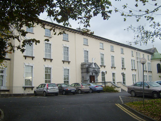 Milford Housecountry house · 318 yd
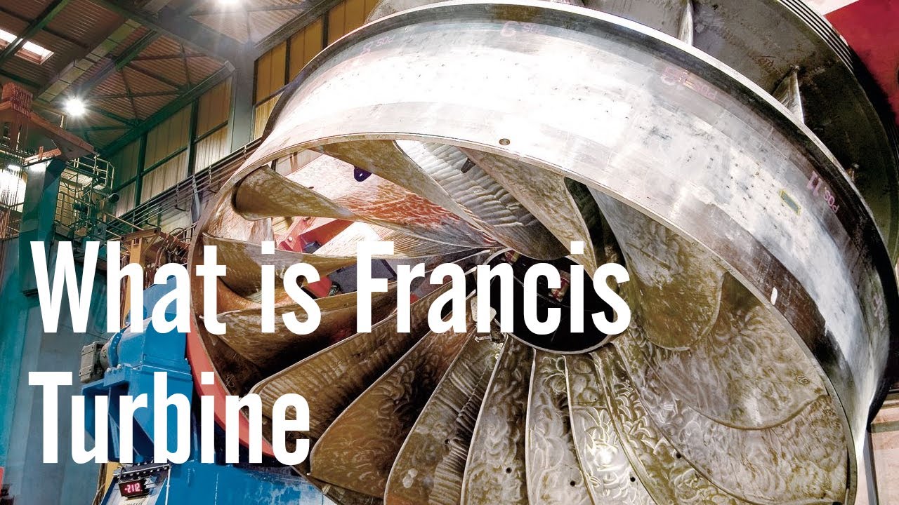 Francis turbineMonument · 339 yd
 University of Limerick FlagpostsHeritage attraction · 561 yd
 New CastleCastle · 898 yd
 Enclosure in GillogeEnclosure · 1103 yd
 Castle Troy (in ruins)Castle, tower house · 1733 yd
 Lough Derg WayWalking route · 1.2 mi
 St. Patrick's WellSpring · 1.5 mi