What is recorded here
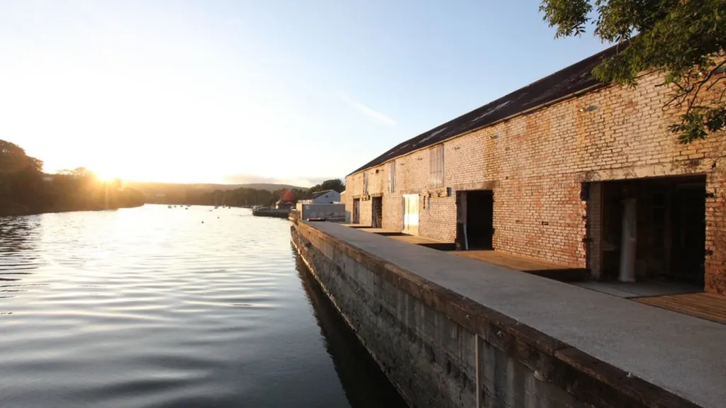
Agivey Bawn stands in Lissaghmore as a post-medieval plantation village, house, bawn and mill, still marked as a scheduled archaeological site. The name Agivey returns across the labels like a river repeating its own bed. A mill suggests water forced to do human work, a bawn suggests fear strong enough to build a wall, and a village suggests people confident enough to stay. Together they sketch a place where survival and ambition collided before either faded completely.
The official Northern Ireland record identifies this as PLANTATION VILLAGE SITE; HOUSE; BAWN; MILL: AGIVEY or AGIVEY BAWN or IRONMONGERS' BUILDINGS. Recorded period: POST-MED. Recorded protection: Scheduled. The official map point was placed at the centre of the recorded archaeological site from the source map reference.
The monument record does not grant public access. Check the route and ask the landowner before entering private land.
- What survives
- Recorded monument
Places near here
 CHURCH: GREENALLY (this may be the same as Agivey old church, 12:3) in MullaghmoreCHURCH: GREENALLY (this may be the same as Agivey old church, 12:3) · 159 yd
 ENCLOSURE (O.S. memoir site, unlocated) in LissaghmoreENCLOSURE (O.S. memoir site, unlocated) · 972 yd
 ENCLOSURE (unlocated) in LandagiveyENCLOSURE (unlocated) · 1.2 mi
 Balnamore MillStore · 1.6 mi
 FORTIFIED HOUSE in ProspectFORTIFIED HOUSE · 2.8 mi
 CASTLE in Town Parks (ballymoney)CASTLE · 3.2 mi
 Ballymoney MuseumMuseum · 3.4 mi
 Castleroe WoodWood · 4.7 mi
 Somerset ForestForest · 5.6 mi
 Ulster War Memorial Clock TowerMemorial · 5.8 mi
 CHURCH & GRAVEYARD: KILREA OLD CHURCH or KILREA O'DIAMOND in KilreaCHURCH & GRAVEYARD: KILREA OLD CHURCH or KILREA O'DIAMOND · 6.8 mi
 Long MountainMountain / peak · 7.1 mi