
What is recorded here
Pittenweem, East Braes is a cist in Fife, Scotland.
Places near here
Photo credits
- Richard Sutcliffe, Wikimedia Commons · CC BY-SA 2.0
- Jim Bain, Wikimedia Commons · CC BY-SA 2.0
- Maker not stated on source page, uk.pinterest.com
- Maker not stated on source page, en.wikipedia.org
- Maker not stated on source page, www.airbnb.co.in
- Maker not stated on source page, www.tripadvisor.co.uk
- Euan Nelson, Wikimedia Commons · CC BY-SA 2.0
- Maker not stated on source page, www.360cities.net
 Pittenweem, Cuniger RockCoastal Defence Site (second World War) (possible) · 17 yd
 PittenweemAnti Tank Blocks (second World War) · 333 yd
 Pittenweem, Abbey WellWell · 496 yd
 Pittenweem, Milton Place, Roman Catholic ChurchChurch (19th Century) · 578 yd
 Pittenweem, Milton Place, Roman Catholic Church, Gatepiers and Enclosing WallGate Pier, Wall · 582 yd
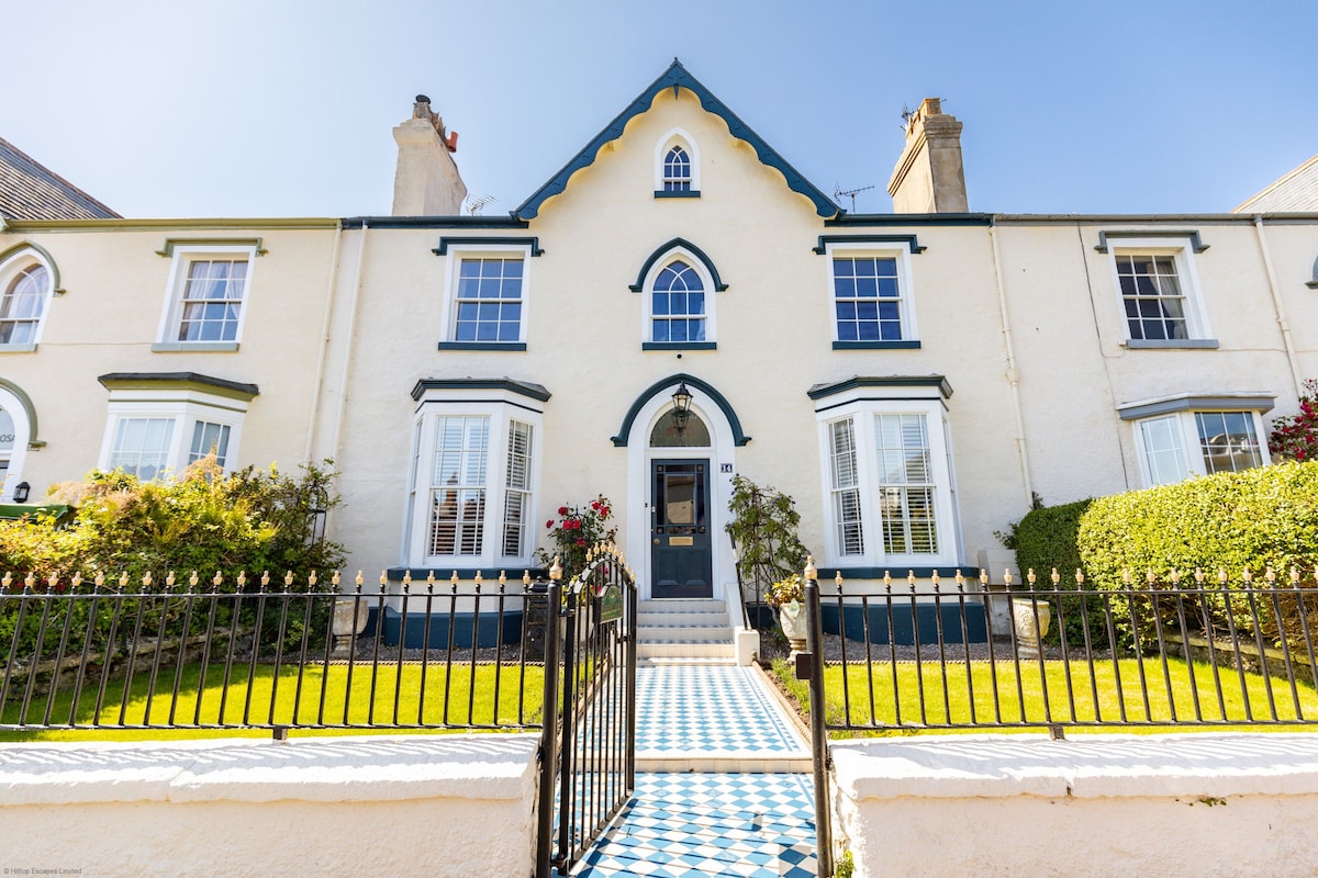 Pittenweem, Abbey Wall Road, Abbey LodgeCottage (early 19th Century) · 618 yd
 Pittenweem, James Street, St Margaret's Farm BuildingsFarmhouse (19th Century), Farmstead (19th Century) · 640 yd
 Pittenweem, Marygate, St John's Episcopal ChurchChurch (19th Century) · 763 yd
 Pittenweem, Marygate, St John's Episcopal Church, War MemorialWar Memorial (20th Century) · 763 yd
 Pittenweem CemeteryCemetery · 1078 yd
 Anstruther Easter, Wightman's Wynd, Dreel CastleCastle (medieval), Wall (16th Century) · 1342 yd
 Anstruther, St Andrews Road, Cemetery, War MemorialCemetery (20th Century), War Memorial (20th Century) · 1431 yd
More archaeology and monuments in Fife · All of Fife

What do you know about this place?Tap to add a comment or ask a question